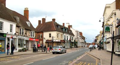
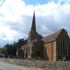
Lactodurum, Archaeological site in Towcester, England.
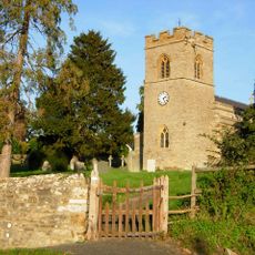
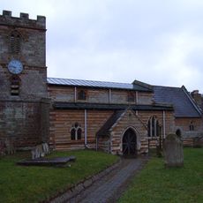
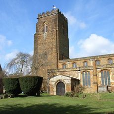
Lactodurum is a Roman settlement that lies beneath modern Towcester, containing remains of defensive walls, towers, and a surrounding ditch system. Archaeological finds are scattered throughout the town and can be explored through information panels.
The settlement started as a Roman military garrison and grew into a civilian town during the 2nd century. It was strategically positioned on Watling Street, a key road that connected London with North Wales.
The pottery and coins found here show that people made and traded goods at this location. These objects now rest in museums and tell the story of the busy commerce that once happened.
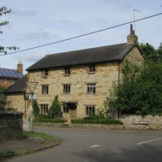
Visitors should allow time to explore the scattered information panels throughout the town, as there is no single central site to visit. Walking through different parts of Towcester gives you the best understanding of the settlement's layout.
The name Lactodurum combines Latin words referring to milk and fortress, suggesting the importance of dairy farming in the Roman region. This connection reveals that Romans recognized and named the settlement after the local agricultural focus.
Location: Towcester
GPS coordinates: 52.13100,-0.98900
Latest update: December 11, 2025 18:01
Easton Neston
1.1 km
Towcester Greyhound Stadium
1.5 km
Stoke Park Pavilions
4.8 km
Bury Mount
260 m
Town Hall
107 m
Tiffield St. John the Baptist Church
3.1 km
Church of St Mary the Virgin
4.9 km
Church of St Mary, Easton Neston
1.1 km
Church of St Michael
4.6 km
Church of St James the Great
3.8 km
Church of St John the Baptist
4.8 km
Church of St Margaret
5 km
Church of St Lawrence
182 m
Church of St Mary
4.3 km
Roman Catholic Church
40 m
Church of St Bartholomew
2.7 km
Bridge House
3.3 km
Towcester Mill
274 m
The Post Office
134 m
South Portal Of Blisworth Tunnel
4.9 km
Windmill
4.7 km
South Lodges And Gateways To Easton Neston House On Northampton Road
503 m
The Old School
4.7 km
Bury Mount Castle
260 m
The Chain Gate And Lodges And Attached Walls, Piers, Standards And Chains
1.5 km
Milestone, Towcester Road, by No. 28
4.9 km
Milepost, Watling Street, West, in wall next to No. 131, Bridge House just S of Bridge ver Silverstone Brook
155 m
Milestone, N of 50mph sign & houses, N approach to Silverstone
4.4 kmVisited this place? Tap the stars to rate it and share your experience / photos with the community! Try now! You can cancel it anytime.
Discover hidden gems everywhere you go!
From secret cafés to breathtaking viewpoints, skip the crowded tourist spots and find places that match your style. Our app makes it easy with voice search, smart filtering, route optimization, and insider tips from travelers worldwide. Download now for the complete mobile experience.
A unique approach to discovering new places❞
— Le Figaro
All the places worth exploring❞
— France Info
A tailor-made excursion in just a few clicks❞
— 20 Minutes