
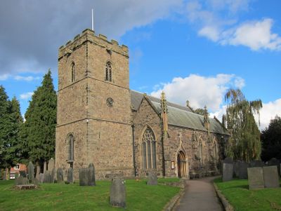
St Mary's Church, Anstey, church building in Anstey, Charnwood, Leicestershire, UK
Location: Anstey
Inception: 14 century
Website: http://ansteyparishchurch.org.uk
GPS coordinates: 52.67200,-1.18880
Latest update: March 3, 2025 09:11
Bradgate Park
3.1 km
Leicestershire County Council
1.8 km
Groby Old Hall
2.7 km
Bradgate House
2.2 km
Groby Castle
2.7 km
Cropston Reservoir
2.4 km
County Hall
1.9 km
Groby Pool and Woods
3 km
Sheet Hedges Wood
2.7 km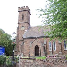
Church of St Philip and James
2.8 km
Church of All Saints
3 km
Church of All Saints
2.6 km
Church of St Peter
2.8 km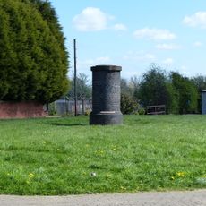
Tunnel Ventilation Shaft To South Of Number 12
2.6 km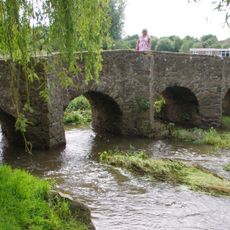
Pack Horse Bridge
264 m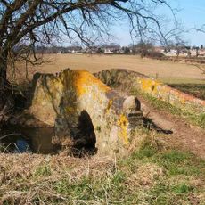
Coffin Bridge
2.2 km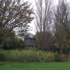
Tunnel Ventilation Shaft To East Of Number 1
2.5 km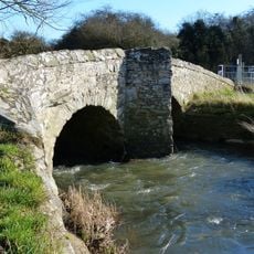
King William's Bridge
793 m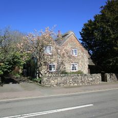
43, Main Street
3.5 km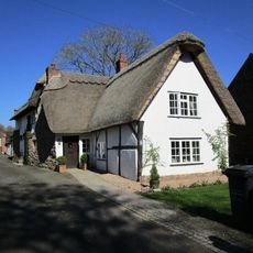
Vine Cottage
3.2 km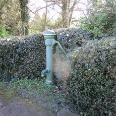
Village Pump (Between Nos 8 And 10)
3.3 km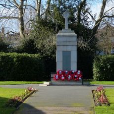
Anstey War Memorial
252 m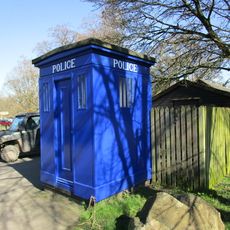
Police Box, Newtown Linford
3 km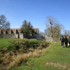
Tiltyard
2.2 km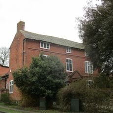
52, Anstey Lane
2.7 km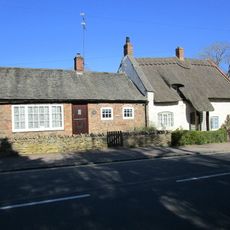
No 15 And Shop
3.3 km
41, Main Street
3.4 km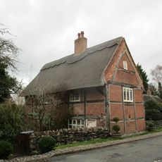
Latimer's House
2.9 kmVisited this place? Tap the stars to rate it and share your experience / photos with the community! Try now! You can cancel it anytime.
Discover hidden gems everywhere you go!
From secret cafés to breathtaking viewpoints, skip the crowded tourist spots and find places that match your style. Our app makes it easy with voice search, smart filtering, route optimization, and insider tips from travelers worldwide. Download now for the complete mobile experience.

A unique approach to discovering new places❞
— Le Figaro
All the places worth exploring❞
— France Info
A tailor-made excursion in just a few clicks❞
— 20 Minutes