Sutton Walls Hill Fort
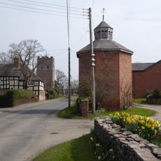
Sutton Walls Hill Fort, Iron Age hill fort near Marden, England
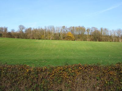
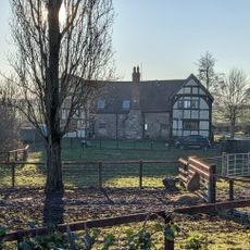
Sutton Walls Hill Fort is an Iron Age fortification on elevated ground between Sutton St Nicholas and Marden, covering several hectares of terrain. The site shows clear earthen ramparts and defensive ditches surrounding the elongated oval enclosure in a way that remains visible today.
Excavations between 1948 and 1951 uncovered foundations of roundhouses, cooking hearths, and corn-drying ovens dating from the 2nd century BC to the 3rd century AD. These discoveries reveal that people occupied and used the site continuously over many generations.
The name comes from the substantial earthen walls that define the landscape and remain visible across the site today. Visitors can trace how these defensive structures shaped the way people used this elevated ground.
The site is easy to explore on foot since the earthen ramparts and ditches are clearly visible in the landscape. Access is generally open, but visitors should watch for uneven ground and steep slopes across the area.
Twenty-four headless skeletons discovered near the western entrance suggest a sudden violent conflict. This finding may connect to a major historical upheaval, though its exact cause remains uncertain.
Location: Marden
Location: Sutton
GPS coordinates: 52.11378,-2.69507
Latest update: December 12, 2025 12:01
Church of St Peter
3.2 km
Church of St Margaret
3.3 km
Church of the Holy Trinity
3.4 km
Church of St Nicholas
1.4 km
Church of St Bartholomew
4.4 km
Church of St Andrew
2.1 km
Church of St Mary
1.5 km
Church of St Michael
586 m
Amberley Chapel
2.6 km
Mile Stone About 3/4 Mile South-South-West Of Church Of St Nicholas
2.3 km
The Vauld Farmhouse
3.2 km
Sutton St Nicholas War Memorial
1.4 km
Shelwick Court
3.4 km
Marden War Memorial, Herefordshire
1.1 km
Mile Post About 200 Yards South Of Almshouses
2.8 km
Moreton Bridge
1.3 km
Mile Post About 1000 Yards North-North-East Of Bridge House
3.6 km
Milestone In Front Of Sutton Mission Hall
1.1 km
Churchyard cross in St Margaret of Antioch's churchyard
3.3 km
Amberley Court
2.5 km
Milepost At So 545426
4.3 km
Leystone Bridge
1.5 km
Mile Post About 25 Yards North-East Of Lodge To Former Thinghill Grange Estate
3.7 km
Dovecote About 35 Yards North-East Of Stocks Yard
3.4 km
Milepost, Pipe Bridge; N of bridge
3.1 km
Milestone, Venn's Green; 230m N Holbatch turn 50m N The Saltbox
2.8 km
Milestone, Bodenham Moor; 25m S old mill in front of The Nook
4.1 km
Milepost, N of Holmer House
4 kmVisited this place? Tap the stars to rate it and share your experience / photos with the community! Try now! You can cancel it anytime.
Discover hidden gems everywhere you go!
From secret cafés to breathtaking viewpoints, skip the crowded tourist spots and find places that match your style. Our app makes it easy with voice search, smart filtering, route optimization, and insider tips from travelers worldwide. Download now for the complete mobile experience.
A unique approach to discovering new places❞
— Le Figaro
All the places worth exploring❞
— France Info
A tailor-made excursion in just a few clicks❞
— 20 Minutes