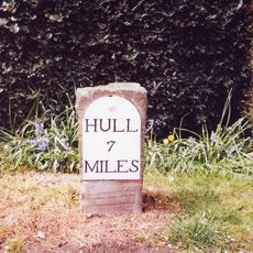
The Wolds, Chalk hill range in East Yorkshire and North Yorkshire, England.
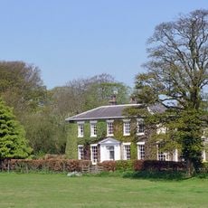
The Wolds form a crescent-shaped hill range stretching from Flamborough Head to the Humber River, composed of chalk rock formations. These heights reach about 800 feet (240 m) and are defined by their green slopes and open ridges that cover parts of North Yorkshire and East Yorkshire.
The landscape formed during the Cretaceous and Jurassic periods from marine deposits, which ice age glaciers later shaped into valleys and ridges. Glacial activity carved out the deep valleys that now define the terrain's shape and appearance.
The name comes from Old English "wald," which originally meant forest, but later came to describe open hill country after woodland was cleared. Today you see gentle grass slopes and field paths that shape how people move through the landscape.
The Wolds Way is a well-marked trail that connects villages through the hills and provides access to geological and archaeological sites. The path passes through varied terrain, so wear proper footwear and come prepared for changing weather conditions.
The Gypsey Race is a rare chalk stream flowing through the Great Wold Valley, with sections that periodically dry up during drier months. This waterway stands out because such chalk streams are uncommon features in northern England.
The community of curious travelers
AroundUs brings together thousands of curated places, local tips, and hidden gems, enriched daily by 60,000 contributors worldwide.