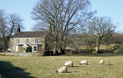
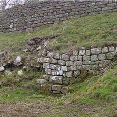
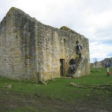
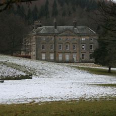
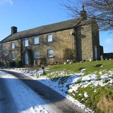
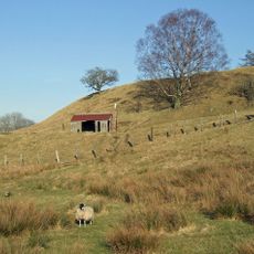
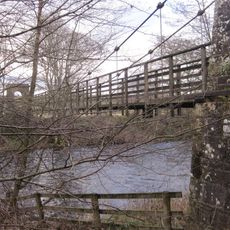
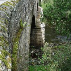
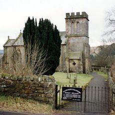
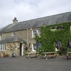
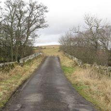
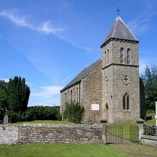
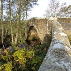
Tarset, village and civil parish in Northumberland, England
Location: Northumberland
Part of: Tarset and Greystead
GPS coordinates: 55.16300,-2.32800
Latest update: April 4, 2025 15:50
Kielder Water
11.2 km
Bremenium
13.8 km
Black Middens Bastle House
4.9 km
Hesleyside Hall
3 km
Dally Castle
2 km
Tarset Castle
404 m
Greystead Bridge
1.6 km
Falstone Bridge
7.1 km
Three Kings
15.6 km
Church of St Luke
2.2 km
Church of St Aidan
2.3 km
Church of the Holy Trinity
12.8 km
St Peter's Church
7.1 km
Milestone South West Of Church Of The Holy Trinity At Ngr 842971
12.6 km
Church of St Oswald
4.7 km
Milestone South Of Birdhopecraig United Reformed Church At Ngr 820980
13.2 km
The Redesdale Arms
12.6 km
Bridge Over Tarset Burn
584 m
United Reformed Church
7.2 km
Chirdonburn Bridge
969 m
Rochester War Memorial
13.1 km
Milestone North West Of Bellshiel Bridge At Ngr 802997
14.5 km
Shilla Hill bastle 350m west of Comb
5.7 km
Romano-British farmstead 330m west of Rattenraw Farm
11.1 km
Milestone Circa 1/4 Mile North-East Of Blakehopeburnhaugh
15 km
Medieval wayside cross, 200m NNW of Brownrigg
11.3 km
Snabdaugh Farmhouse And Attached Cottage
931 m
Tarset Viaduct
560 mReviews
Visited this place? Tap the stars to rate it and share your experience / photos with the community! Try now! You can cancel it anytime.
Discover hidden gems everywhere you go!
From secret cafés to breathtaking viewpoints, skip the crowded tourist spots and find places that match your style. Our app makes it easy with voice search, smart filtering, route optimization, and insider tips from travelers worldwide. Download now for the complete mobile experience.
A unique approach to discovering new places❞
— Le Figaro
All the places worth exploring❞
— France Info
A tailor-made excursion in just a few clicks❞
— 20 Minutes