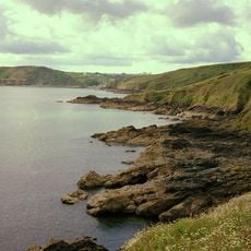
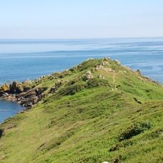
The Manacles, Granite rock formation off the Lizard Peninsula, Cornwall, England
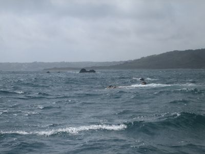
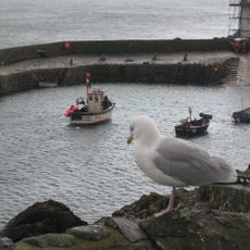
The Manacles is a group of submerged rocks and reefs stretching about 1 nautical mile east and southeast from Manacle Point into Falmouth Bay. The area is riddled with sunken vessels and attracts experienced divers interested in exploring underwater wrecks.
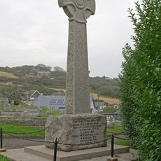
The location has been a ship trap since the 18th century, with more than one hundred documented vessel losses including HMS Primrose in 1809. This pattern of shipwrecks continued over two centuries, making it a major maritime graveyard.
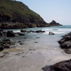
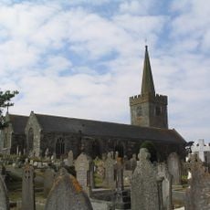
The name comes from Cornish "Meyn Eglos", meaning church stones, referring to the visible St Keverne church spire from this location. These rocks are deeply woven into local identity and shape how residents think about their coastline.
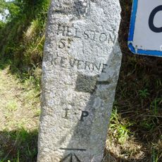
Access is only by boat from the nearby coast, and the site is suitable only for experienced divers familiar with strong currents. Weather conditions change quickly in this exposed location, so checking conditions beforehand is important.
The surrounding marine conservation zone protects rare Maerl beds, a special algae type that feeds juvenile sea animals and supports a fragile ecosystem. These habitats are often overlooked but make the location significant for marine biology.
Location: St Keverne
GPS coordinates: 50.04460,-5.04616
Latest update: December 10, 2025 15:48
Kennack to Coverack
6.8 km
Meneage Coastal Section
4.3 km
Portal dolmen known as 'The Three Brothers of Grugith'
5.9 km
Menhir von Tremenheere
4.3 km
Church of St Akeveranus
3 km
Church of Saint Anthony
6.4 km
Church of Saint Manacca
7.2 km
St Peter's Church, Coverack
4.4 km
Sculpture Park
5 km
Corner Cottage
4.3 km
Minstel Cottage
4.3 km
Guidepost 25m NE of St Keverne Beacon
4.7 km
Halamana Cottage
6.1 km
Smugglers Cottage
4.3 km
Trevalsoe Farmhouse And Cottage Adjoining To West
3 km
Part of a promontory fort with Civil War fieldworks known as Little Dennis
6.1 km
Coverack War Memorial
4.4 km
Promontory fort at Chynalls Point
4.6 km
Guide Post 300 Metres East Of Tregowris
4.9 km
Grugwith Farmhouse
6.1 km
Harbour Walls, Pier, Quay And Slips
4.2 km
Bank House
4.3 km
Carndu and Trevarrow
4.4 km
Two standing stones on Crousa Common, 890m WSW of Chywoone
4.5 km
Milestone, Trelanvean, E of lay-by, on same side
6.5 km
Milestone, St Keverne Beacon, W of Coverack jct
4.9 km
Guidestone, Coverack, at jct with B3294
4.7 km
Milestone, opp. Treskewes Farm House
3.5 kmVisited this place? Tap the stars to rate it and share your experience / photos with the community! Try now! You can cancel it anytime.
Discover hidden gems everywhere you go!
From secret cafés to breathtaking viewpoints, skip the crowded tourist spots and find places that match your style. Our app makes it easy with voice search, smart filtering, route optimization, and insider tips from travelers worldwide. Download now for the complete mobile experience.
A unique approach to discovering new places❞
— Le Figaro
All the places worth exploring❞
— France Info
A tailor-made excursion in just a few clicks❞
— 20 Minutes