
Threapwood, village and civil parish in Cheshire West and Chester, Cheshire, England
Location: Cheshire West and Chester
GPS coordinates: 53.00181,-2.82629
Latest update: April 22, 2025 12:21

St Oswald's Church, Malpas
4.4 km
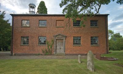
Overton Hall
4 km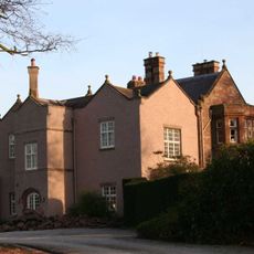
Chorlton Hall
3.6 km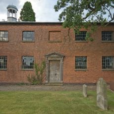
St John's Church, Threapwood
647 m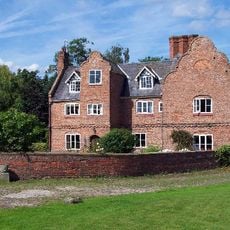
Chorlton Old Hall
3.2 km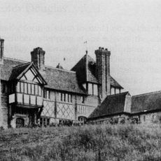
The Gelli
2.3 km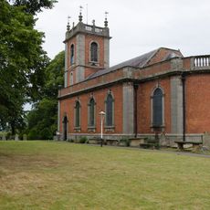
St Deiniol's Church
2.9 km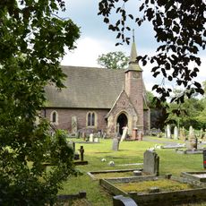
Church of St Mary Magdelene
1.1 km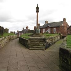
Malpas War Memorial, St Oswald's Churchyard
4.4 km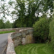
Sarn Bridge
822 m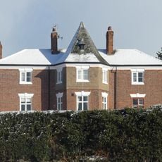
The Rectory
4.3 km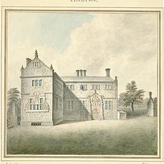
Halghton Hall
4.2 km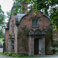
Emral Hall Lodge
3.4 km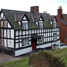
Church View
4.4 km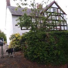
Pursa Farmhouse
3.1 km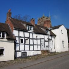
Glebe Farmhouse
4.4 km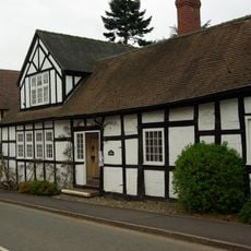
Tithe Barn
4.3 km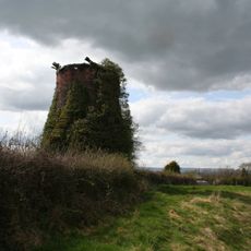
Windmill 130 yards east Of Mill House
371 m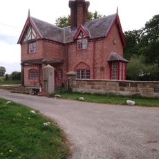
Broughton Hall Lodge
1.9 km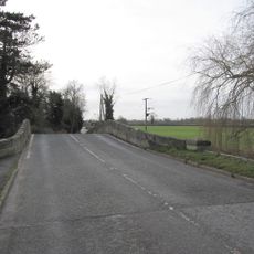
Worthenbury Bridge
2.9 km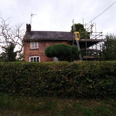
Pandy Holding
3.2 km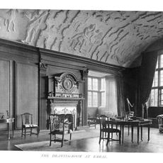
Emral Hall
2.9 km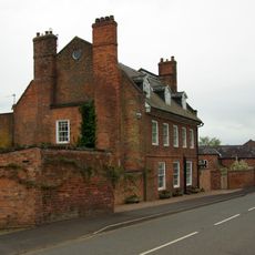
The Bolling, with garden wall to left
4.3 km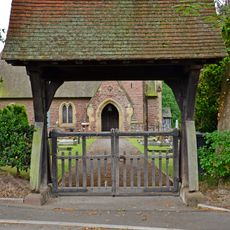
Lychgate to Church of Saint Mary Magdalene
1.1 km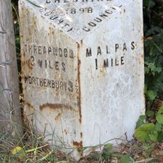
Milepost, E of Heath Farm
3 km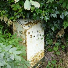
Milepost, W of The Bank
864 m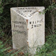
Milepost, W of Ashley Court
1.7 km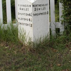
Milepost, Shocklach village
4 kmVisited this place? Tap the stars to rate it and share your experience / photos with the community! Try now! You can cancel it anytime.
Discover hidden gems everywhere you go!
From secret cafés to breathtaking viewpoints, skip the crowded tourist spots and find places that match your style. Our app makes it easy with voice search, smart filtering, route optimization, and insider tips from travelers worldwide. Download now for the complete mobile experience.

A unique approach to discovering new places❞
— Le Figaro
All the places worth exploring❞
— France Info
A tailor-made excursion in just a few clicks❞
— 20 Minutes