
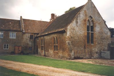
Treasurer's House, Medieval house museum in Martock, England
Treasurer's House is a medieval stone building in Martock with a T-shaped layout, made up of a Solar Block dating to 1250 and a Great Hall added in 1293. Both sections are built from local Hamstone, the pale yellow-brown stone that was quarried in this part of Somerset.
The house gained its name when Hugh, the Treasurer of Wells Cathedral, acquired it in 1227 and connected it to the nearby church as a parsonage. Its stone structure began around 1250, with the Great Hall added roughly 40 years later.
Inside the Solar Block, you can see a 13th-century wall painting depicting the Crucifixion that was hidden beneath layers of limewash for centuries. This religious artwork reveals how the wealthy decorated their private chambers with meaningful images.
This house sits in the village center and is easy to reach on foot, with clear entrances leading through the preserved medieval doorways into its rooms. It makes sense to allow plenty of time to walk through all the spaces and examine the hidden wall painting carefully.
Around 1297, the Chancellor of England, John Langton, used this house to store the Great Seal of the Realm, one of the most important objects in royal administration. This brief chapter shows how a modest village house could temporarily hold an artifact of national power.
Location: Martock
Website: https://nationaltrust.org.uk/treasurers-house-martock
GPS coordinates: 50.96950,-2.77260
Latest update: December 14, 2025 14:26
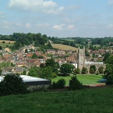
South Somerset
1.7 km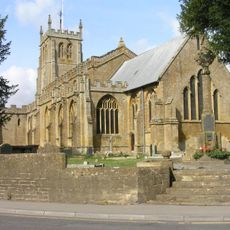
Church of All Saints, Martock
260 m
Parrett Iron Works
1.4 km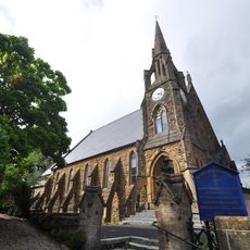
Stoke Sub Hamdon United Reformed Church
2.2 km
The Market House
453 m
Church of the Holy Trinity
2.1 km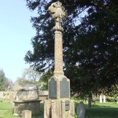
The War Memorial And Boundary Wall Between South And North East Gateways, Church Of All Saints
315 m
Joylers Mill And Mill House
2.2 km
68, North Street
2.1 km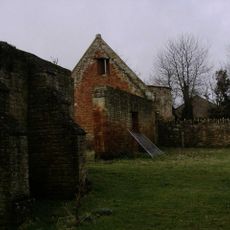
Dovecote About 50 Metres West Of The Priory
2.3 km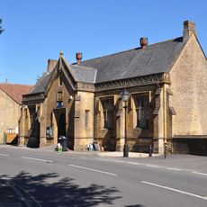
The Old School
342 m
Hillside Farmhouse And Front Boundary Railings
1.4 km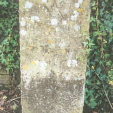
Milestone By Boundary Wall About 9 Metres North Of Pattenden
299 m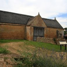
Barn About 25 Metres North West Of The Priory
2.3 km
Coat House And Gateway 2 Metres North East Of House
1.3 km
Lloyds Bank With Front Boundary Railings
392 m
Castle Farmhouse And Attached Outbuildings To North
2.1 km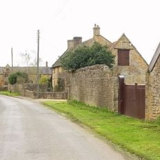
Greystones Farmhouse
1.3 km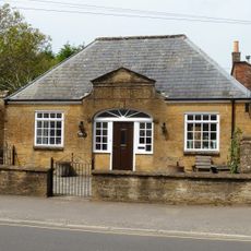
Doctors Surgery And Archway To South
342 m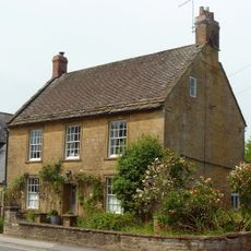
Knuston Lodge
360 m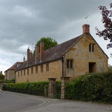
Court House
280 m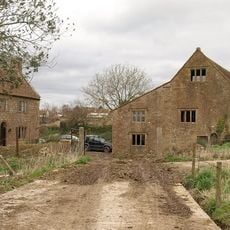
Madey Mill
907 m
Church Lodge With Railings To East And Gateway To North East
324 m
Hoods
2.3 km
Bridge House
343 m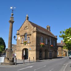
The Market Cross Also Known As The Pinnacle
442 m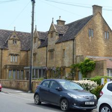
The Manor House
422 m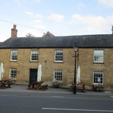
The George Inn
352 mVisited this place? Tap the stars to rate it and share your experience / photos with the community! Try now! You can cancel it anytime.
Discover hidden gems everywhere you go!
From secret cafés to breathtaking viewpoints, skip the crowded tourist spots and find places that match your style. Our app makes it easy with voice search, smart filtering, route optimization, and insider tips from travelers worldwide. Download now for the complete mobile experience.

A unique approach to discovering new places❞
— Le Figaro
All the places worth exploring❞
— France Info
A tailor-made excursion in just a few clicks❞
— 20 Minutes