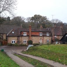
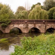
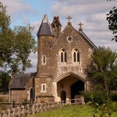
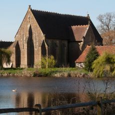
Thursley Common, National nature reserve in Surrey, England
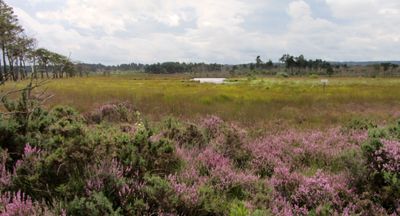
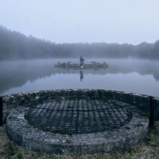
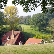
Thursley Common is a nature reserve covering about 350 hectares with dry heathland, peat bogs, ponds, and woodland. These different habitats support a wide range of plants and animals throughout the year.
During World War II, Allied troops used the land for training exercises to prepare soldiers for the coming invasion. The grounds still show signs of this military activity from that period.
The name comes from ancient English and Scandinavian roots meaning Thor's Field, showing how Norse cultures shaped the names and identity of the area long ago.
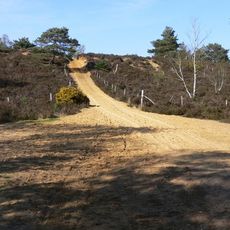
The site can be explored via boardwalks, especially through boggy areas, and several information boards explain the environment and wildlife. The paths are well marked for different ability levels.
The reserve is home to 26 dragonfly species and six native reptile species including smooth snakes rarely seen elsewhere in Britain. This unusual combination of rare wildlife makes it a notable spot for nature lovers.
GPS coordinates: 51.16160,-0.70820
Latest update: December 11, 2025 11:03
Hankley Common
1.9 km
Church of St James
2.4 km
Church of St Michael and All Angels
1.7 km
Elstead Mill
2.8 km
Statue of Neptune with Attached Underwater Tunnel, Stairs, Circular and Rectangular Chambers and Artificial Island, Witley Park
2.3 km
Smallbrook
1.9 km
Elstead Bridge
2.8 km
Pittlands
2.9 km
Somerset Bridge
3.4 km
Barn 15 Metres South West Of Emley Farm House
3.3 km
Barn To Rear Of Smallbrook Cottage
1.9 km
United Reformed Church and Attached Graveyard Wall with Gatepiers and Railings
2.6 km
The Corner
1.3 km
Emley Farm House
3.3 km
Olde Hall
1.4 km
Upper Highfield Farm House
2.7 km
British Legion Clubhouse
2.6 km
Granary At Emley Farm
3.3 km
Barn 25 Metres South Of Emley Farm House
3.3 km
Oxenford Gate Lodge
3.5 km
Barn At Oxenford Grange
3.5 km
The Gables
2.3 km
Elstead War Memorial
2.4 km
Milestone, Bedford Farm, 50m from lay-by
2.5 km
Milestone, Cranhurst, Milford, nr cemetery
3.6 km
Milestone, Witley Common
2.9 km
Milestone, Portsmouth Road, Milford, southbound sliproad, W of the entrance to Rodborough Common car park
3.5 km
Milestone, Half Moon, on slip road (Old Portsmouth Road)
1.4 kmVisited this place? Tap the stars to rate it and share your experience / photos with the community! Try now! You can cancel it anytime.
Discover hidden gems everywhere you go!
From secret cafés to breathtaking viewpoints, skip the crowded tourist spots and find places that match your style. Our app makes it easy with voice search, smart filtering, route optimization, and insider tips from travelers worldwide. Download now for the complete mobile experience.
A unique approach to discovering new places❞
— Le Figaro
All the places worth exploring❞
— France Info
A tailor-made excursion in just a few clicks❞
— 20 Minutes