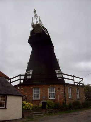
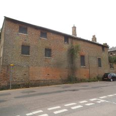
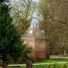
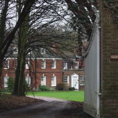
Upper Mill, Eastry, Grade II listed smock mill in Eastry, England
The Upper Mill in Eastry is a three-story wooden building with a brick base and circular tower topped by a sloping cap, designed to process grain. Inside, four pairs of millstones were positioned to handle significant volumes of grain, though most mechanical components were removed after 1959.
The mill began operating from the mid-eighteenth century, initially powered by wind to grind grain for local use. It switched to gas and electric engines in 1913 and continued until 1959, when operations finally ceased.
The mill reflects how farming communities in Kent relied on wind-powered mills to process grain, making this type of structure central to local food production and rural daily life.
This listed structure can be viewed from outside, though interior access may be limited. The best way to appreciate it is by walking around the building to see its distinctive wooden and brick construction from different angles.
The structure once contained four pairs of millstones, revealing the substantial grain processing capacity this mill possessed during its working years. This arrangement shows how seriously operators invested in maximizing output for the local farming region.
The community of curious travelers
AroundUs brings together thousands of curated places, local tips, and hidden gems, enriched daily by 60,000 contributors worldwide.