Wade's Causeway, Ancient trackway in Egton, United Kingdom
Description
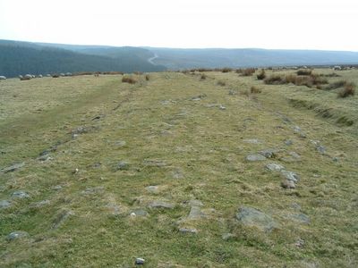
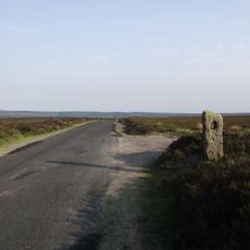
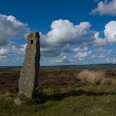
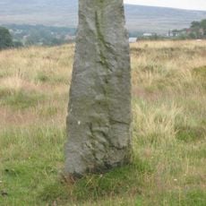
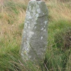
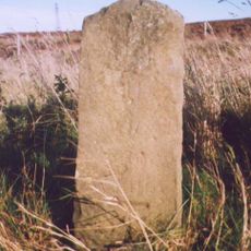
Wade's Causeway is an ancient path made of sandstone slabs built on a raised embankment that crosses Wheeldale Moor. The structure measures between 13 to 23 feet (4 to 7 meters) wide and displays carefully positioned stones across the wetland terrain.
History
The causeway was long believed to be of Roman origin, but recent archaeological studies suggest it dates to the Neolithic period and may have marked territorial boundaries. This reassessment has shifted understanding of when and why it was built.
Culture
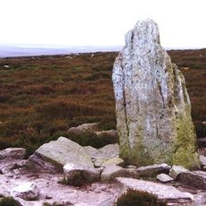
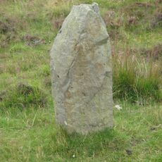
Local stories speak of a giant called Wade who supposedly built this path to help his wife move her cow to market. These tales shape how visitors and locals think about the causeway today.
Practical
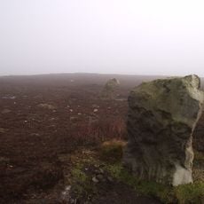
The surrounding moorland stays wet most of the year, so waterproof shoes and appropriate clothing are essential for a comfortable visit. Plan to walk carefully as the ground can be slippery and muddy throughout the seasons.
Did you know?
The causeway contains multiple perpendicular drainage culverts built into its structure, showing that builders understood advanced water management. This clever drainage system allowed the path to survive across the wet moorland for thousands of years.
AroundUs brings together thousands of curated places, local tips, and hidden gems, enriched daily by 60,000 contributors worldwide. Discover all places nearby (Egton).
Birch Hall Inn
4.5 km
Blue Man-i'-th'-Moss
4.4 km
Simon Howe
2.3 km
Church of St Mary Entrance Steps And Attached Handrail
3.4 km
The Mallan Hotel
3.5 km
Memorial cross for Probationary Flight Officer Francis Titcomb (the Swinsty Cross)
5.4 km
North York Moors National Park
4.2 km
Goathland War Memorial
4.1 km
North York Moors Railway Goathland Station
4.5 km
North York Moors Railway Footbridge Linking Plaforms At Goathland Station
4.5 km
Stones
3.3 km
North York Moors Railway Water Column At Goathland Station
4.5 km
Waymarker
5.4 km
North York Moors Railway Workshop And Water Tank At Goathland Station
4.5 km
Waymarker
2.4 km
Waymarker
2.3 km
Waymarker
4.7 km
Waymarker
3.4 km
Stones
3.5 km
Brereton Corner
4.2 km
Waymarker
5.4 km
Waymarker
3.8 km
Waymarker
2.8 km
Waymarker
1.4 km
Mauley Cross in Cropton Forest 580m north of Hill Top Farm
3.7 km
Milestone, just S of entrance to Fylingdales Early Warning Station
5 km
Milestone, carved stone post, near entrance to Barr Farm
5.5 km
Milestone, cast iron post, near entrance to Barr Farm
5.5 kmDiscover hidden gems everywhere you go!
From secret cafés to breathtaking viewpoints, skip the crowded tourist spots and find places that match your style. Our app makes it easy with voice search, smart filtering, route optimization, and insider tips from travelers worldwide. Download now for the complete mobile experience.
A unique approach to discovering new places❞
— Le Figaro
All the places worth exploring❞
— France Info
A tailor-made excursion in just a few clicks❞
— 20 Minutes