Western Weald, Natural region in Hampshire and West Sussex, England.
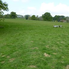
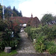
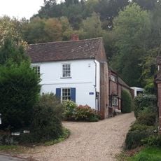
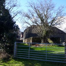
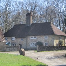
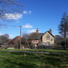
The Western Weald is a natural region spanning undulating terrain with woodlands, heathlands, and medieval-era fields between the North and South Downs. It stretches from Petersfield and Liss in the west to Pulborough in the east, with Blackdown representing the highest point.
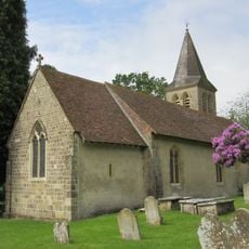
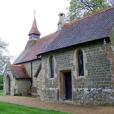
The name comes from the Old English word 'Weald' meaning woodland, referring to when the area was part of Andredes weald in early medieval times. This ancient woodland identity still shapes what the landscape looks like today.
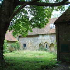
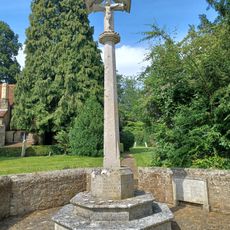
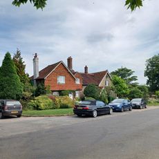
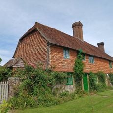
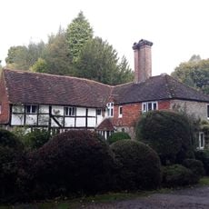
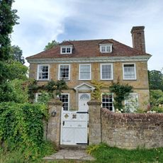
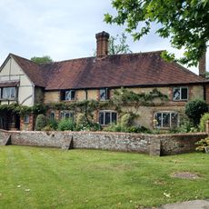
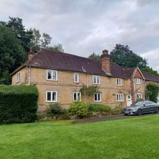
Large estates like Goodwood and Cowdray shaped how people live and work in this region across the centuries. These properties remain central to the area's character and influence how locals relate to the land around them.
Access to the region varies depending on which sections you want to explore, with entry points scattered across multiple locations. The rolling terrain requires sturdy footwear and planning, especially for longer walks or during wetter seasons.
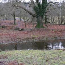
The ground here is made up of sandstone and clay layers that create distinctly different soil conditions across the region. This geological variety allows acid heathlands and oak forests to thrive in the same area.
The community of curious travelers
AroundUs brings together thousands of curated places, local tips, and hidden gems, enriched daily by 60,000 contributors worldwide.