Woodhouse Ridge, Woodland area in Headingley, England.
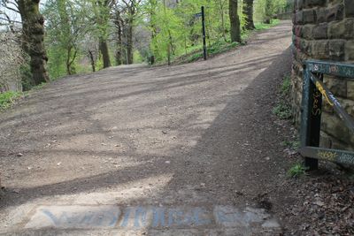
Woodhouse Ridge is a wooded hillside in Headingley that stretches between two roads and features a mix of native tree species. The woodland occupies a sloped terrain on the eastern side of a prominent hill, creating multiple layers of vegetation.
The area began as open moorland before being converted to a public park during the Victorian era. Over the decades it gradually transformed into the continuous woodland that exists today.
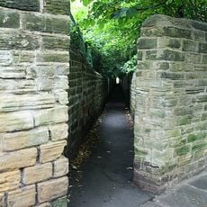
The woodland serves as a refuge for local wildlife and is valued by residents as a place to connect with nature in the city. Visitors encounter evidence of community care through maintained paths and cleared areas that show how people actively steward the land.
Two main paths run through the woodland with the primary route designed for people with mobility needs and families with pushchairs. The sloped terrain means some sections are steeper than others, so visitors should choose their route accordingly.
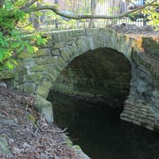
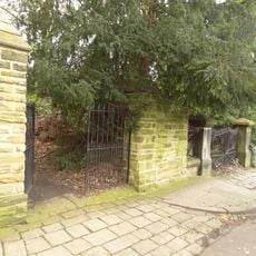
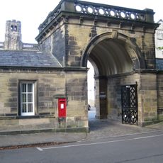
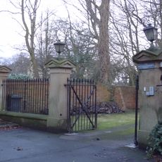
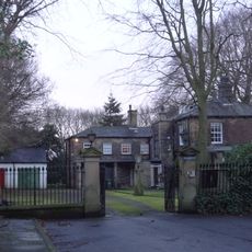
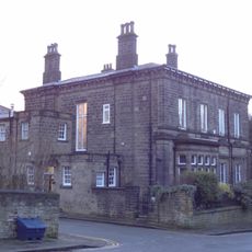
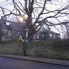
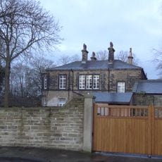
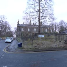
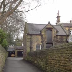
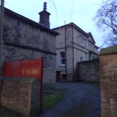
Hidden within the woodland are remnants of Victorian-era structures and a World War II air raid shelter that blend into the landscape. These remnants offer visitors glimpses of how the land was used during different periods of history.
Location: Leeds
GPS coordinates: 53.82010,-1.56014
Latest update: December 12, 2025 17:40
Devonshire Hall
361 m
Packhorse bridge over Meanwood Beck
142 m
Old Hall Part Of Devonshire Hall Of Residence University Of Leeds
427 m
1, 3 and 5 Grosvenor Mount
328 m
Boundary Wall And Gateway To East Of Number 1 Grosvenor Terrace
251 m
Pair Of Semi Detached Houses Now Part Of Devonshire Hall University Of Leeds
410 m
17 North Hill Road
437 m
Grosvenor Terrace
266 m
Grosvenor House With Terrace Walls
378 m
Boundary Wall With Gate Piers And Gates To Spring Hill And Elmfield
395 m
3 And 4, Woodhouse Cliff
452 m
Gatehouse To Devonshire Hall
357 m
Cumberland Priory
310 m
Gate Piers, Gates And Railings Approximately 25 Metres South West Of Hilly Ridge House
231 m
Hilly Ridge House
193 m
Boundary Wall To Grosvenor House, Grosvenor Mount
416 m
Gates, Gate Piers And Boundary Walls To Road And Right Of Way, Ridgeway House
270 m
Spring Hill
356 m
Elmfield
341 m
Front wall, gate piers and gates to 17 North Hill Road
417 m
Boundary walls to 1, 3 and 5 Grosvenor Mount
350 m
Boundary Wall To West Of Number 5 Grosvenor Terrace
284 m
Wall To Front Garden Of Cumberland Priory With Two Sets Of Gate Piers
295 m
5, Woodhouse Cliff
463 m
Sycamore Lodge
481 m
1 and 2, Woodhouse Cliff
448 m
Coach House Stables And Boundary Wall With Garden House To Rear Of Spring Hill
340 m
Ridgeway House
240 mVisited this place? Tap the stars to rate it and share your experience / photos with the community! Try now! You can cancel it anytime.
Discover hidden gems everywhere you go!
From secret cafés to breathtaking viewpoints, skip the crowded tourist spots and find places that match your style. Our app makes it easy with voice search, smart filtering, route optimization, and insider tips from travelers worldwide. Download now for the complete mobile experience.
A unique approach to discovering new places❞
— Le Figaro
All the places worth exploring❞
— France Info
A tailor-made excursion in just a few clicks❞
— 20 Minutes