
Cross in St Michael's churchyard, Grade II listed building in Mitchel Troy. In the centre of Mitchel Troy village, on the N side of the old road from Monmouth to Raglan
Location: Mitchel Troy
Elevation above the sea: 27.7 m
GPS coordinates: 51.78977,-2.73750
Latest update: March 3, 2025 14:08

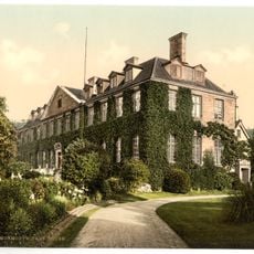
Troy House
2 km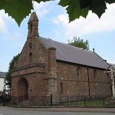
St Thomas's Church
2.4 km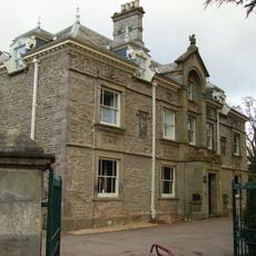
Drybridge House
2.4 km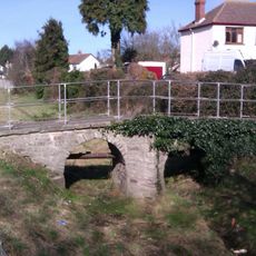
Clawdd-du
2.2 km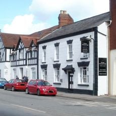
The Three Horseshoes, Monmouth
2.4 km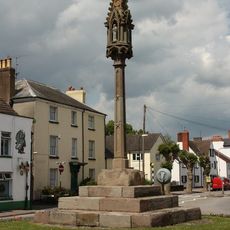
Overmonnow Cross
2.4 km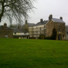
Wonastow Court
814 m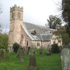
St Michael and All Angels Church
19 m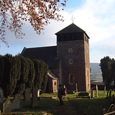
St Wonnow's Church
777 m
Tollgate House
1.7 km
The Britannia Inn
2.4 km
8, Drybridge Street, Monmouth
2.4 km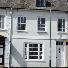
Nos.20 & 22, Drybridge Street, Monmouth
2.4 km
27 Drybridge Street, Overmonnow
2.4 km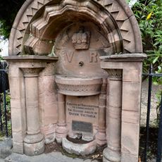
Diamond Jubilee Drinking Fountain
2.4 km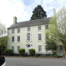
Overmonnow House, including attached railings
2.4 km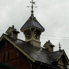
Former Stable Block of Drybridge House
2.4 km
Nos.1-10 (Consec), Drybridge Street, Monmouth
2.4 km
31,Drybridge Street, Monmouth
2.4 km
The Laurels
2.4 km
6, Drybridge Street, Monmouth
2.4 km
Clawdd-du Bridge
2.2 km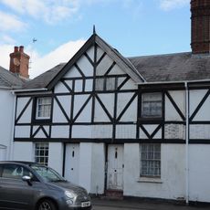
33,Drybridge Street, Monmouth
2.4 km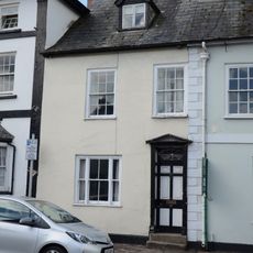
No.18 Drybridge Street, Monmouth
2.4 km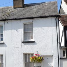
30, Drybridge Street, Overmonnow
2.4 km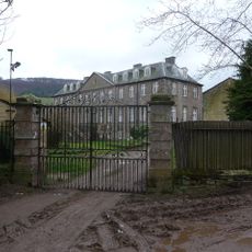
Gateway and gates to Troy House
2 km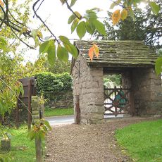
Lychgate to Church of St Michael
22 m
Nos.25-35 (Odd) Drybridge Street, Monmouth
2.4 kmReviews
Visited this place? Tap the stars to rate it and share your experience / photos with the community! Try now! You can cancel it anytime.
Discover hidden gems everywhere you go!
From secret cafés to breathtaking viewpoints, skip the crowded tourist spots and find places that match your style. Our app makes it easy with voice search, smart filtering, route optimization, and insider tips from travelers worldwide. Download now for the complete mobile experience.

A unique approach to discovering new places❞
— Le Figaro
All the places worth exploring❞
— France Info
A tailor-made excursion in just a few clicks❞
— 20 Minutes