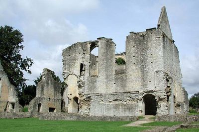
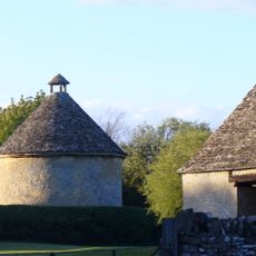
Minster Lovell Hall, Medieval manor house ruins in Minster Lovell, England
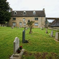
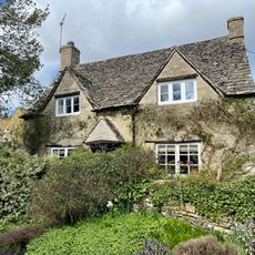
Minster Lovell Hall is a limestone manor house in ruins, standing near the River Windrush and retaining its original U-shaped layout with a central courtyard. The surviving walls reach heights of around 40 feet (12 meters) in places and preserve the structure of a grand 15th-century residence.
William Lovell built this manor house in 1440 as one of the founding properties of his family's estates. Gradual decline followed over the centuries until partial dismantling occurred in 1747.
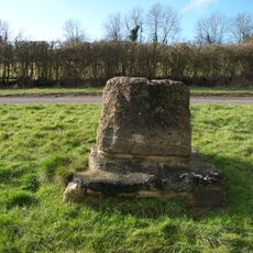
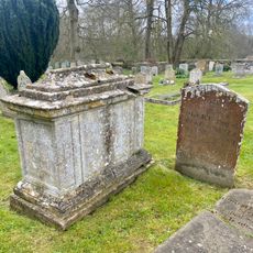
The Lovell name comes from the family who shaped this residence across generations and left their mark on the surrounding lands. The ruins still reveal the room layouts and the courtyard where daily medieval life once unfolded.
The site is open and free to explore on foot, with the ruins and grounds making up the main visit experience. Wear sturdy footwear since the terrain is uneven and lacks paved walkways.
A skeleton found in the basement in 1718 sparked speculation about Francis Lovell hiding there after a military defeat. This mystery remains unsolved and continues to intrigue visitors exploring the darker corners of the ruins.
The community of curious travelers
AroundUs brings together thousands of curated places, local tips, and hidden gems, enriched daily by 60,000 contributors worldwide.