North Elmham chapel and manor house
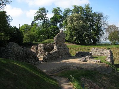
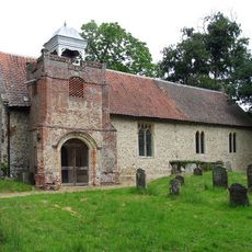
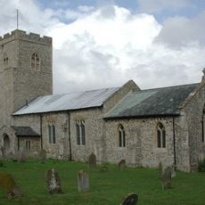
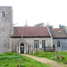
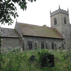
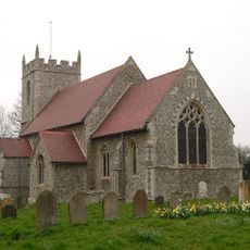
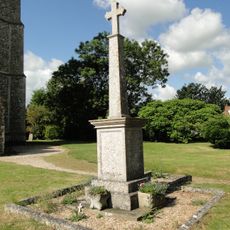
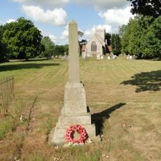
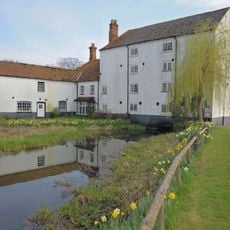
North Elmham chapel and manor house, Medieval chapel and fortified manor house ruins in North Elmham, England.
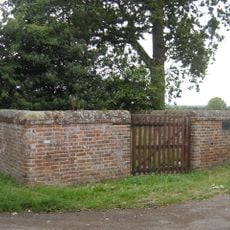
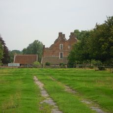
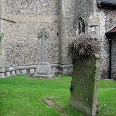
North Elmham Chapel and Manor House are ruins of stone and flint displaying Norman architectural features such as defensive walls, arches, and tower sections. The site spreads across different levels and reveals the remains of both the original chapel building and the later fortified structure.
The site began as a religious center and was later converted into a noble residence when a local bishop received permission in the late 14th century to build a double-moated fortress. This transformation marked the shift from sacred to military purpose on the same ground.
The site's name reflects its origins as a religious center that later transformed into a residence for local nobility. Walking through the grounds today, you can observe how sacred and secular purposes became intertwined in the stones and layout.
Access to the grounds is via a gravel path that is passable for wheelchairs and strollers. Entry is free, and the site remains open during daylight hours until dusk.
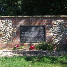
Archaeological excavations in the 1970s uncovered kitchen hearths and structural remains that led experts to reconsider earlier assumptions about the site's Saxon origins. These discoveries revealed everyday details that would otherwise have remained hidden.
Location: North Elmham
Website: https://english-heritage.org.uk/visit/places/north-elmham-chapel
GPS coordinates: 52.75550,0.94483
Latest update: December 14, 2025 17:40
Spong Hill
2.2 km
Sennowe Hall
4.1 km
Church of St Margaret
2.2 km
Church of St Peter
2.7 km
Church of St Nicholas
4.1 km
Church of St Bartholomew
3.7 km
Church of St Mary
111 m
Church of St Mary Magdalene
3.4 km
Church of St Helen
4.1 km
Church of St Andrew
4.2 km
Church of St Swithin
3.4 km
Church of St Mary
3.9 km
Brisley War Memorial
3.7 km
Animal pound at junction of Greatheath Road and Holt Road
483 m
Gateley Hall
3.7 km
No. 114 Squadron RAF Memorial, Brisley
3.9 km
East Bilney War Memorial
3.8 km
Bintree War Memorial
3.4 km
The Lodge
161 m
Mile Plaque 164 Metres South Of The Lodge
322 m
Milestone, opp. 4th house N of jct with A1067
4.3 km
Milestone, opp. side of house on lane to Beck Hall. 6yds E of tel. pole
3.6 km
Milepost, 150yds S of Stone Lane jct (signpost Twyford)
4 km
Milestone, 50yds N of track on E
2.8 km
Milestone, opp. No.7, 10yds N of telephone box on E
1.3 km
Milestone, opp. Gravel Pit House, S of juct
3.6 km
Milestone, 40yds E of entrance to High House Farm
2.3 km
Bintry Watermill
2.8 kmVisited this place? Tap the stars to rate it and share your experience / photos with the community! Try now! You can cancel it anytime.
Discover hidden gems everywhere you go!
From secret cafés to breathtaking viewpoints, skip the crowded tourist spots and find places that match your style. Our app makes it easy with voice search, smart filtering, route optimization, and insider tips from travelers worldwide. Download now for the complete mobile experience.
A unique approach to discovering new places❞
— Le Figaro
All the places worth exploring❞
— France Info
A tailor-made excursion in just a few clicks❞
— 20 Minutes