
Blacktoft, human settlement in United Kingdom
Location: East Riding of Yorkshire
GPS coordinates: 53.70816,-0.72586
Latest update: March 12, 2025 05:19
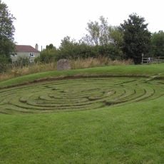
Julian's Bower
4.6 km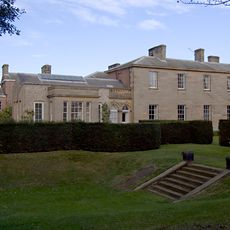
Saltmarshe Hall
6 km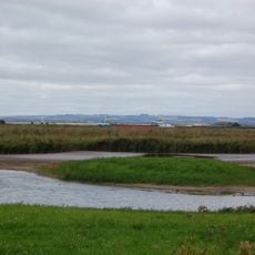
Blacktoft Sands RSPB reserve
971 m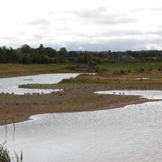
North Cave Wetlands
9.8 km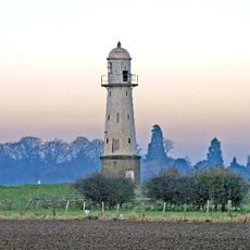
Whitgift Lighthouse
2.3 km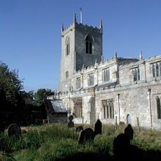
Church of St Michael
7.3 km
Church of St Etheldreda
7.2 km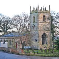
Church of Saint Mary Magdalene, Whitgift
3.7 km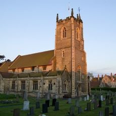
Church of St Stephen
5.6 km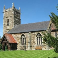
Church of Saint John the Baptist
4.7 km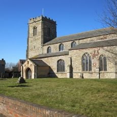
Church of All Saints
3.3 km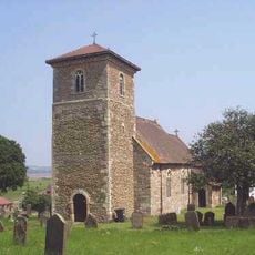
Church of At John
6 km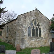
Remains Of Old Church
5.1 km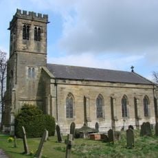
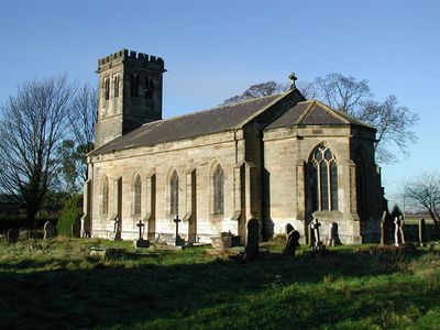
Church of Holy Trinity
88 m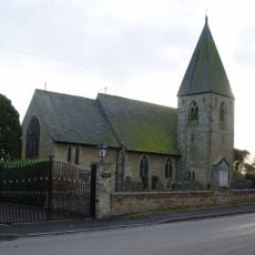
Church of St Mary
4.9 km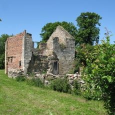
The Old Rectory
3.3 km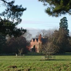
Yokefleet Hall
1.8 km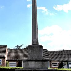
North Cave War Memorial
9.7 km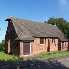
St Mary The Virgin
5.3 km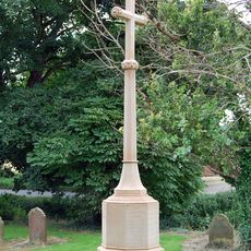
Whitgift War Memorial
3.7 km
West Lodge And Gates, Gate Piers Connecting Wall And Railings And Outer Piers Immediately To West
2 km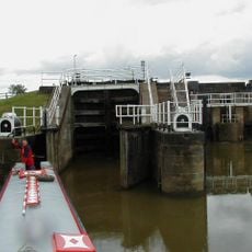
Weighton Lock
3.5 km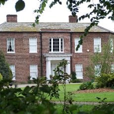
Walcot Hall
4.8 km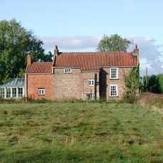
Crumble Manor
4.8 km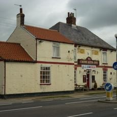
The Cross Keys
5.3 km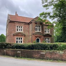
Walcot Old Hall
4.9 km
The Beeches
2.1 km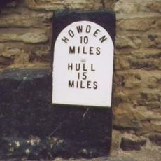
Mounting Block And Milepost
9.4 kmVisited this place? Tap the stars to rate it and share your experience / photos with the community! Try now! You can cancel it anytime.
Discover hidden gems everywhere you go!
From secret cafés to breathtaking viewpoints, skip the crowded tourist spots and find places that match your style. Our app makes it easy with voice search, smart filtering, route optimization, and insider tips from travelers worldwide. Download now for the complete mobile experience.

A unique approach to discovering new places❞
— Le Figaro
All the places worth exploring❞
— France Info
A tailor-made excursion in just a few clicks❞
— 20 Minutes