Penhill, Summit in Yorkshire Dales, United Kingdom.
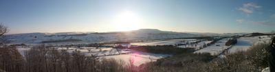
Penhill is a hill in the Yorkshire Dales, sitting between Wensleydale to the north and Coverdale to the south, with its summit reaching 553 meters (1,814 ft). The ridgeline runs roughly east to west and has a gently concave shape that is visible from both valleys below.
Penhill was part of a network of hilltop beacons used in the 16th century to send warning signals across the region in case of a Spanish invasion. The remains of this beacon can still be seen at the eastern end of the hill.
The name Penhill contains the Celtic word "pen", meaning "head" or "hill", which makes the full name essentially mean "hill hill" in a mix of two languages. Walkers who reach the top often notice how the open moorland gives a sense of how raw and bare this part of the Yorkshire Dales can feel.
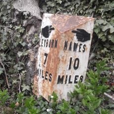
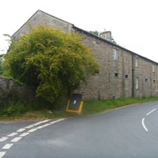
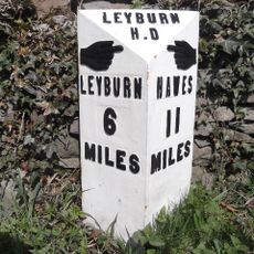
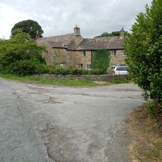
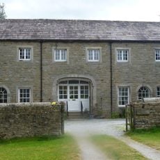
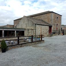
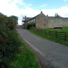
The most common starting point is the village of West Witton, from where public footpaths and a bridleway lead up to the top. The route crosses open moorland, so sturdy footwear and clothing suited to changing weather will make the walk more comfortable.
The summit moorland contains small natural pools called tarns, formed in the peat, which catch and hold rainwater on the open plateau. These pools sit near the triangulation point that marks the exact top of the hill, making them easy to spot on arrival.
The community of curious travelers
AroundUs brings together thousands of curated places, local tips, and hidden gems, enriched daily by 60,000 contributors worldwide.