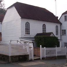
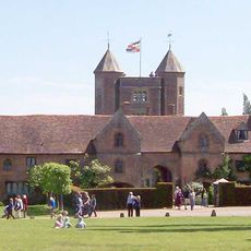
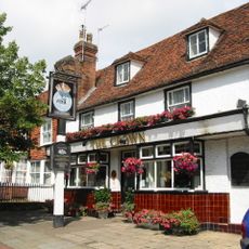
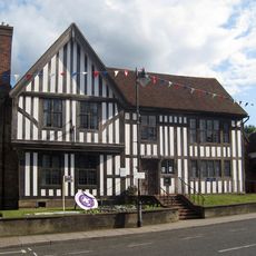
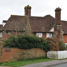
Sissinghurst, village in Kent, England
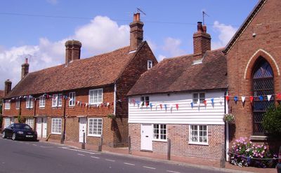
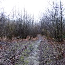
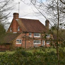
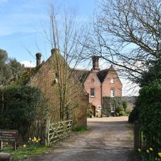
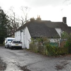
Sissinghurst is a small village in Kent in south-eastern England. The settlement sits in a rural area surrounded by farmland and woodlands.
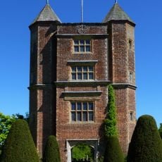
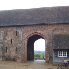
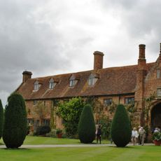
The village grew around a medieval castle that was rebuilt in the 1500s. The famous gardens were created in the 1900s by a writer and her family.
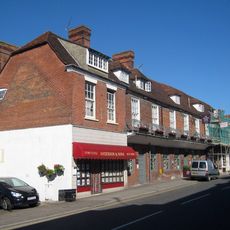
The village is known for its connection to the castle and gardens nearby, which shape how locals and visitors see the place. The structures and landscaping remain central to the area's identity.
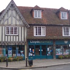
The village is easy to reach by car and has parking for visitors to the castle and gardens. Local paths connect the area, and small shops meet everyday needs.
The gardens were designed with an unusual plan that connected different areas like rooms in a house. This approach to garden design influenced gardening across Britain.
The community of curious travelers
AroundUs brings together thousands of curated places, local tips, and hidden gems, enriched daily by 60,000 contributors worldwide.