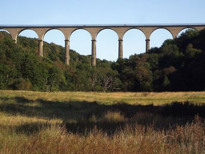
Hownsgill Viaduct, Railway viaduct in Healeyfield, England.
Hownsgill Viaduct is a railway viaduct in Healeyfield built from white firebricks and sandstone, stretching about 213 meters long and rising about 46 meters high. The structure features twelve arches supported by piers that carry the weight of train traffic across the span.
Thomas Bouch designed this railway structure in 1858 for the Stockton and Darlington Railway. The design used inverted arches within the central piers to manage ground pressure and support the weight above.
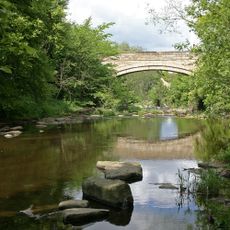
The structure stands as a symbol of Victorian engineering skill and the industrial transformation of County Durham during the 1800s. It shows the technical achievements that were possible at that time.
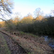
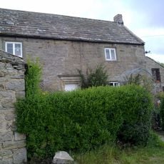
The viaduct is accessible via a footpath starting from the Dam Inn on the A692 road, located roughly half a mile away. The walk is straightforward, and the structure can be viewed clearly from both sides of the path.
The structure was built using about three million white firebricks, which made it an impressive construction project for its time. Today it forms part of the Sea to Sea Cycle Route, connecting the ports of Whitehaven and Sunderland.
The community of curious travelers
AroundUs brings together thousands of curated places, local tips, and hidden gems, enriched daily by 60,000 contributors worldwide.