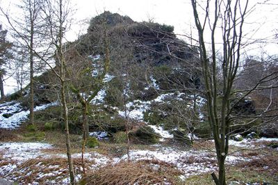
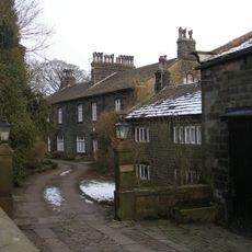
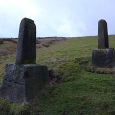
Hardcastle Crags, Natural cliff formation in Calderdale, England
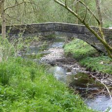
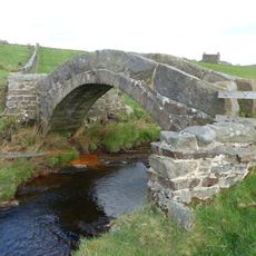
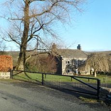
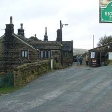
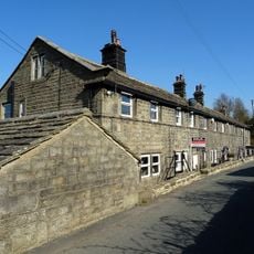
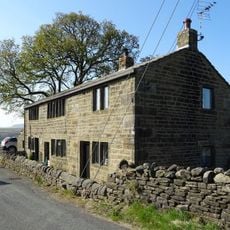
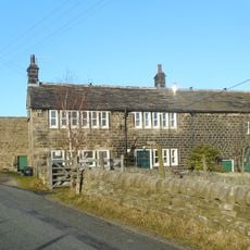
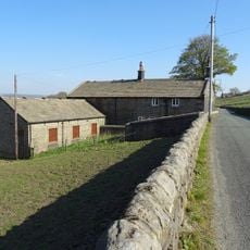
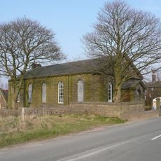
Hardcastle Crags is a cliff and rock formation in a wooded valley with deep ravines carved by streams. Oak, beech, and pine trees cover the slopes, and walking paths weave through the landscape connecting different parts of the site.
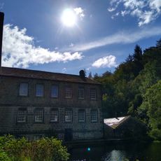
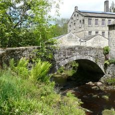
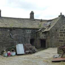
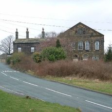
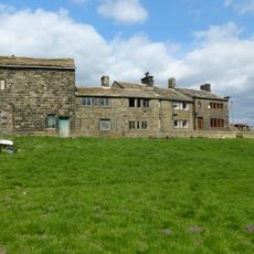
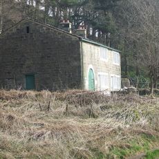
The landscape formed through natural erosion by water and rock over thousands of years. A cotton mill was constructed around 1800 and operated until the late 1800s, after which the area gradually became a protected natural space.
The National Trust manages this natural site, incorporating sustainable practices through Gibson Mill's renewable energy systems and environmental conservation initiatives.
Access is free and the area is reachable on foot with parking available near Midgehole and Clough Hole. The paths are walkable year-round, though they can become muddy after rain and proper footwear is recommended.
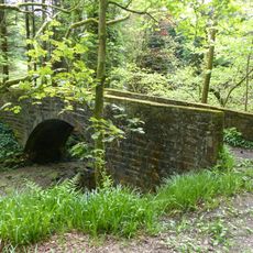
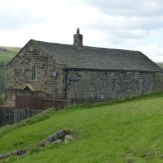
Hundreds of wooden dams have been built by volunteers to manage water flow and prevent downstream flooding. This work demonstrates how hands-on conservation can address environmental challenges in a practical way.
Location: Calderdale
Website: https://nationaltrust.org.uk/hardcastle-crags
GPS coordinates: 53.76500,-2.04240
Latest update: December 9, 2025 18:46
New Bridge
1.7 km
Strines Bridge
1.9 km
Gibson Mill
15 m
Stoneshey Gate House
872 m
Gibson's Bridge
20 m
Greenwood Lee
395 m
Wheat Ing Bridge
1.6 km
Guide post 5 metres to west of Number 31 Edge Hey Green
1.2 km
Great Lear Ings
1.4 km
Former Baptist Chapel and attached manse
1.2 km
Wadsworth War Memorial
2 km
Hudson Fold Hall
1.6 km
Colden Great House
1.7 km
Hebble Hole Footbridge
1.7 km
Broadstone Farmhouse
1.6 km
Bent Head Farmhouse and attached barn
2 km
Little Learings Farmhouse
1.4 km
High Greenwood House
917 m
Guide Post In Fork Of Road Between Burnley Road And Widdop Road
1.4 km
High Gate Farmhouse and attached barn
1.4 km
Cragg Side
741 m
Widdop Gate
1.5 km
New High Laithe Farmhouse and attached barn
1.1 km
New Greenwood Lee Farmhouse and attached barn
500 m
Former Sunday School to rear of Baptist School
1.2 km
Wayside cross known as Abel Cross
1.6 km
Over Wood Farmhouse and attached barn
1.6 km
Higher Colden
1.7 kmVisited this place? Tap the stars to rate it and share your experience / photos with the community! Try now! You can cancel it anytime.
Discover hidden gems everywhere you go!
From secret cafés to breathtaking viewpoints, skip the crowded tourist spots and find places that match your style. Our app makes it easy with voice search, smart filtering, route optimization, and insider tips from travelers worldwide. Download now for the complete mobile experience.
A unique approach to discovering new places❞
— Le Figaro
All the places worth exploring❞
— France Info
A tailor-made excursion in just a few clicks❞
— 20 Minutes