Hartland Moor, National Nature Reserve in Dorset, United Kingdom.
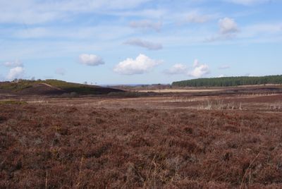
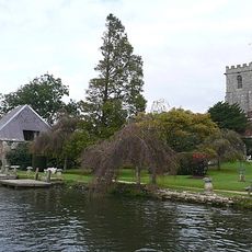
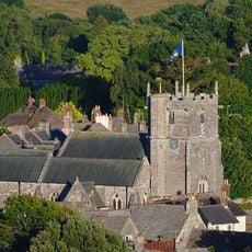
Hartland Moor is a national nature reserve in Dorset spanning approximately 300 hectares of lowland heathland with varied plant communities. The landscape includes dry heath areas alongside wetter valley mires with walking trails and wildlife viewing points distributed across the site.
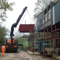
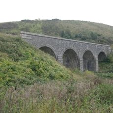
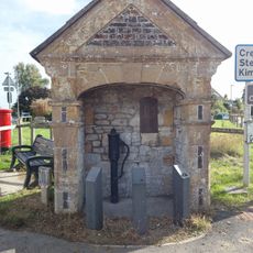
The site was home to Dorset's first railway in 1805, which transported clay from nearby mines to Poole Harbour. This industrial connection shaped the area's development and later influenced its conversion to a nature reserve.
Local Red Devon cattle graze across the moor as part of active land management, helping to maintain the open heathland landscape. Visitors can observe this traditional farming method while walking through the reserve.
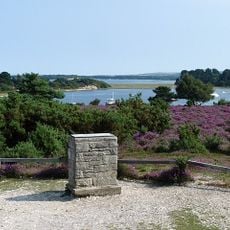
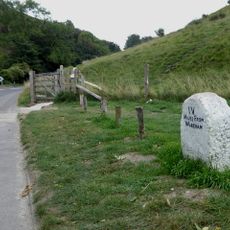
The reserve is accessible via marked walking trails that guide visitors through different areas of the moor. Wear sturdy footwear since parts of the terrain can be damp and boggy, especially during or after wet weather.
The moor features a Y-shaped drainage system where the northern branch creates acidic soil conditions while the southern branch produces alkaline environments. This geological quirk generates two distinct ecosystems side by side in a relatively small area.
Location: Dorset
GPS coordinates: 50.66600,-2.07100
Latest update: December 14, 2025 18:03
Corfe Castle
3 km
Corfe Castle
3 km
Arne RSPB reserve
2.9 km
Purbeck Mineral and Mining Museum
2.4 km
The Old Town Hall
3.2 km
Corfe Castle Model Village
3.2 km
Parish Church of Saint Edward
3.3 km
The Fox Inn
3.3 km
The Greyhound Inn
3.2 km
The Bankes Arms Hotel
3.2 km
Sharford footbridge
1.6 km
The Priory Of Lady St Mary Including Walls Immeadiately To West
3.3 km
27, East Street
3.2 km
Village Cross, Including Pump
3.2 km
Railway Viaduct For The Former Wareham To Swanage Railway
2.9 km
Milestone
2.9 km
Pump House At Junction With West Lane
2.9 km
1 and 2, East Walls
3.3 km
35 And 37, East Street
3.3 km
Ottaway's Pottery Shop And Adjoining House
3.3 km
Milestone 150 Metres South East Of The Cottage, Stoborough Green
2.6 km
Milestone 450 Metres North West Of The Halfway Inn
1.6 km
K6 Telephone Kiosk Outside Post Office, West Street
3.3 km
Milestone
1.8 km
29, 31 And 33, East Street
3.3 km
15, East Street
3.2 km
Building To The North Of No. 17 East Street
3.2 km
The Town House
3.2 kmVisited this place? Tap the stars to rate it and share your experience / photos with the community! Try now! You can cancel it anytime.
Discover hidden gems everywhere you go!
From secret cafés to breathtaking viewpoints, skip the crowded tourist spots and find places that match your style. Our app makes it easy with voice search, smart filtering, route optimization, and insider tips from travelers worldwide. Download now for the complete mobile experience.
A unique approach to discovering new places❞
— Le Figaro
All the places worth exploring❞
— France Info
A tailor-made excursion in just a few clicks❞
— 20 Minutes