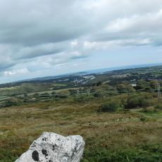
Hensbarrow, Natural upland region in Cornwall, England
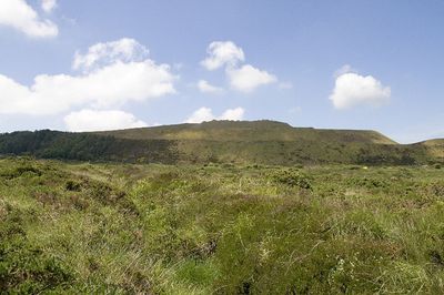
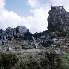
Hensbarrow is an upland region of granite hills north of St Austell, with summits ranging between 180 and 300 meters in height. The landscape is marked by a mosaic of rolling formations and open areas, with Hensbarrow Beacon standing out as the natural high point.
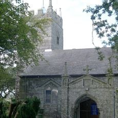
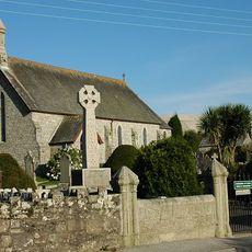
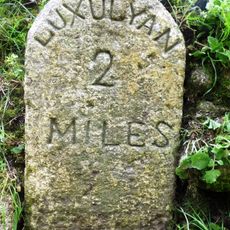
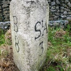
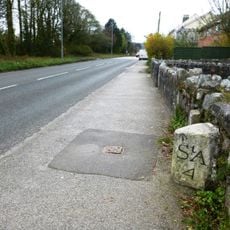
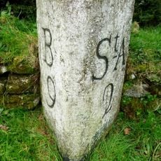
The area was home to the medieval Blackmoor Stannary, an administrative body that archived its records in Luxulyan Church. This stannary oversaw tin mining operations across the region for several centuries.
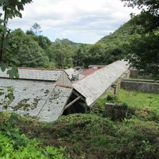
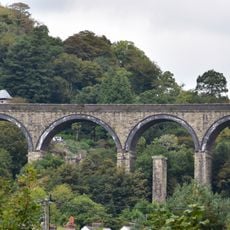
The landscape displays traditional Cornish hedgerows and stone walls that divide the terrain, along with scattered villages and farm buildings dotting the lower slopes.
Hensbarrow Beacon is reachable via a walking trail from the western road entrance and provides views across the surrounding terrain. It is wise to wear sturdy footwear and be prepared for changing weather conditions.
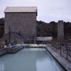
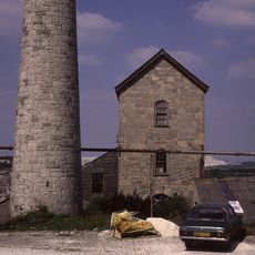
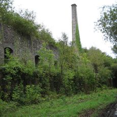
The area contains numerous china clay pits and sand tips, with artificial spoil heaps reaching 355 meters and surpassing the natural peak. These industrial landmarks shape the visual character of the landscape to this day.
The community of curious travelers
AroundUs brings together thousands of curated places, local tips, and hidden gems, enriched daily by 60,000 contributors worldwide.