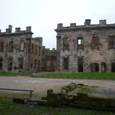
Doe Lea Viaduct, Victorian railway viaduct in Carr Vale, Derbyshire, United Kingdom
Doe Lea Viaduct was a brick railway bridge with eight arches that spanned across the Doe Lea valley, standing roughly 70 feet (21 meters) tall. The structure stretched approximately 370 feet (113 meters) in length and formed a key part of the rail network through this area.
The viaduct was completed in 1897 as part of the Lancashire, Derbyshire and East Coast Railway and served the line until 1951. After decades of operation, structural concerns led to its closure and eventual demolition.
The viaduct demolition in 1952 became part of cinema history when footage of its explosive destruction appeared in a film about wartime France.
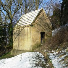
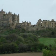
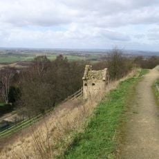
The former viaduct location is accessible today via the Stockley Trail, a public footpath that runs from Glapwell to Bolsover Castle Station. This path provides a convenient way to explore the site and enjoy the surrounding countryside.
Footage of the viaduct's demolition by explosives in 1952 was reused in a wartime film set in France, giving this British structure an unexpected role in cinema. The destruction sequence became part of a larger movie production rather than being filmed specifically for that purpose.
Official opening: February 1897
GPS coordinates: 53.22690,-1.30972
Latest update: December 14, 2025 14:22
Sutton Scarsdale Hall
2.4 km
Stainsby Mill
5 km
Church of St John the Baptist, Ault Hucknall
5 km
St Leonard's Church, Scarcliffe
3.7 km
Church of St Mary and St Lawrence, Bolsover
1.3 km
Bolsover Cundy House
1.2 km
Bolsover Castle
1 km
Church of St Peter
5.2 km
Church of All Saints
3.4 km
Church of St John the Baptist
5.5 km
Church of St Peter
5.4 km
2-4, Church Street
1.2 km
St. Mary's Church, Sutton-cum-Duckmanton
2.4 km
Former Presbyterian Chapel
1.1 km
Ruins of Heath Old Church
3.2 km
Ault Hucknall War Memorial
4.9 km
Chest tomb 10 metres south west of Church of St John the Baptist
5 km
Bolsover War Memorial
1.2 km
Calow War Memorial
4.8 km
Staveley War Memorial
5.4 km
Rowthorne Lodge
5.5 km
Hall Farmhouse
5.6 km
Conduit House to South East of St Bernadette's Church
1.2 km
49, High Street
1.1 km
Pear Tree Farmhouse
5.5 km
39, High Street
1.1 km
31, Market Place
1.2 km
Numbers 7-21 Including The Attached And The Associated Back Yard Walls
380 mVisited this place? Tap the stars to rate it and share your experience / photos with the community! Try now! You can cancel it anytime.
Discover hidden gems everywhere you go!
From secret cafés to breathtaking viewpoints, skip the crowded tourist spots and find places that match your style. Our app makes it easy with voice search, smart filtering, route optimization, and insider tips from travelers worldwide. Download now for the complete mobile experience.
A unique approach to discovering new places❞
— Le Figaro
All the places worth exploring❞
— France Info
A tailor-made excursion in just a few clicks❞
— 20 Minutes