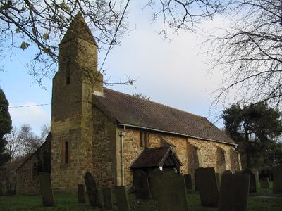
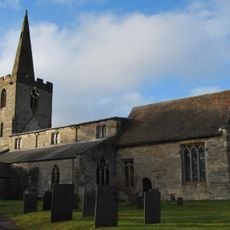
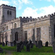
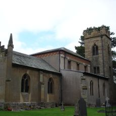
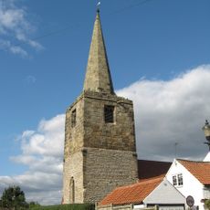
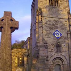
All Saints' Church, Stanton on the Wolds, grade II listed church in the United kingdom
All Saints' Church is a small stone church building in Stanton on the Wolds situated on the edge of a golf course amid open countryside. The simple structure has traditional features including a nave and chancel, stone walls, small windows, and a bell turret, with seating capacity for around 50 people.
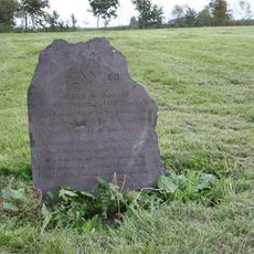
The church was first documented in 1341 with origins tracing back to the 14th century, and it was once dedicated to St John the Baptist. After centuries of decay, major restoration work began in the 1800s, with significant repairs funded by Harriet Robertson in 1889 and additional work continuing through the 1900s to preserve the structure.
The church serves the local community as a place for worship, family celebrations, and life events such as baptisms and funerals. Visitors notice how the building connects people across generations, offering a space where residents gather to mark important moments and maintain continuity with their past.
The church is easily accessible and welcomes visitors who wish to pray or reflect in its quiet setting. The church warden Tony Hill is available to assist newcomers and answer questions about the building and its activities and services throughout the month.
The church warden Tony Hill is known for taking time to speak warmly with visitors and answer their questions about the place. Community donations sustain the building's maintenance and operation, creating a model of local care that extends beyond regular attendees to include occasional supporters.
The community of curious travelers
AroundUs brings together thousands of curated places, local tips, and hidden gems, enriched daily by 60,000 contributors worldwide.