Rempstone Stone Circle, Bronze Age stone circle in Corfe Castle, England
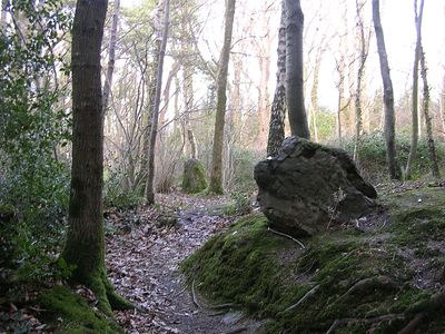
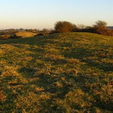
Rempstone Stone Circle consists of eight stones arranged in an arc, with five standing upright and three lying on the ground. The formation sits within a birch woodland setting and reflects the typical layout of Bronze Age megalithic monuments.
This monument was built between 3300 and 900 BCE during a period when similar megalithic structures spread across Britain, Ireland, and Brittany. The practice of building such circles reflects shared customs across distant regions during prehistoric times.
Local stories link the stones to supernatural origins, with tales describing how they came to rest in their current positions through divine intervention. These narratives reveal how communities have made sense of the monument over generations.
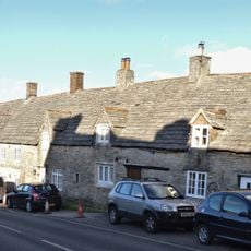
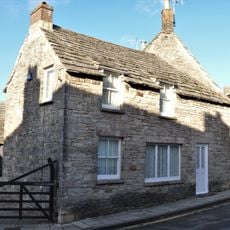
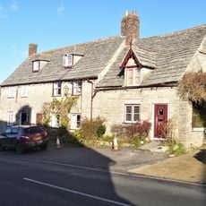
The monument sits within a woodland area near a main road, making it fairly accessible to reach on foot. The ground can become muddy after rainfall, so sturdy footwear is advisable when visiting.
This circle stands apart from other Dorset stone circles by employing local sandstone rather than imported sarsen stone for construction. It is the only circle in the region positioned away from chalk hills, making its location choices quite distinct.
Location: Corfe Castle
GPS coordinates: 50.63832,-2.00898
Latest update: December 12, 2025 17:40
Swanage Railway
3.3 km
Mortons House Hotel
3.3 km
Parish Church of Saint Edward
3.4 km
Parish Church of Saint George
3.2 km
The Greyhound Inn
3.4 km
The Castle Inn
3.2 km
The Bankes Arms Hotel
3.4 km
Penny Cottage
3.3 km
Corfe Castle Post Office
3.4 km
United Reformed Church, Including Boundary Railings on North
3.3 km
27, East Street
3.4 km
Nos 40 And 42 Including Garden Wall South Of No 42
3.3 km
The Obelisk On North Hill
2.9 km
29, 31 And 33, East Street
3.4 km
Bowl barrow 470m WNW of Peaked Close House: part of a dispersed round barrow cemetery on Corfe Common
3.4 km
32, West Street
3.4 km
35 And 37, East Street
3.3 km
Ottaway's Pottery Shop And Adjoining House
3.3 km
15, East Street
3.4 km
The Old Forge
3.3 km
Building To The North Of No. 17 East Street
3.4 km
13 And 15, West Street
3.4 km
K6 Telephone Kiosk Outside Post Office, West Street
3.4 km
9 And 11, West Street
3.4 km
The Town House
3.4 km
Milestone, minor road from B3351 to Swanage; 300M W of junction with B3351
2.8 km
17 And 19, West Street
3.4 km
Milestone, Langton Matravers; 30M W of Ship Inn
3.3 kmVisited this place? Tap the stars to rate it and share your experience / photos with the community! Try now! You can cancel it anytime.
Discover hidden gems everywhere you go!
From secret cafés to breathtaking viewpoints, skip the crowded tourist spots and find places that match your style. Our app makes it easy with voice search, smart filtering, route optimization, and insider tips from travelers worldwide. Download now for the complete mobile experience.
A unique approach to discovering new places❞
— Le Figaro
All the places worth exploring❞
— France Info
A tailor-made excursion in just a few clicks❞
— 20 Minutes