
Nether Haddon, civil parish in Derbyshire Dales district, Derbyshire, England
Location: Derbyshire Dales
Shares border with: Bakewell, Over Haddon, Youlgrave, Harthill, Stanton, Rowsley, Edensor
GPS coordinates: 53.19200,-1.65200
Latest update: March 23, 2025 15:30

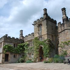
Haddon Hall
257 m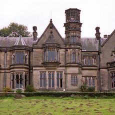
Burton Closes
2 km
Conksbury Bridge
2.2 km
Mill Bridge
2 km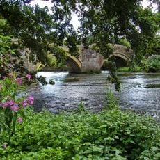
Main bridge over River Wye at Haddon Hall
185 m
Coal Pit Bridge
2.1 km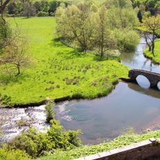
Dorothy Vernon's Bridge over River Wye
218 m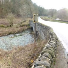
Hawley Bridge 100 metres north north east of Harthill Lodge
1.3 km
Bowling Green Farmhouse and attached garden walls and steps
685 m
Elliottholme Lodge
1.3 km
Raper Lodge
2.2 km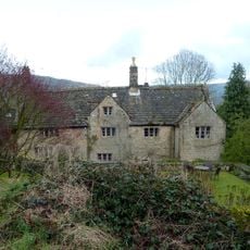
Stanton Old Hall
1.6 km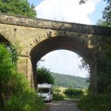
Coombs Road Viaduct
1.8 km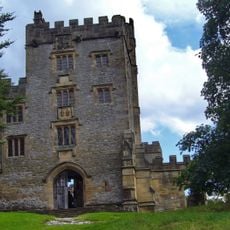
Stableblock And Tea Room To Haddon Hall
251 m
Rock House
2 km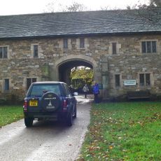
Entrance Gatehouse to Haddon Hall
75 m
Barn at Harthill Hall Farm
1.6 km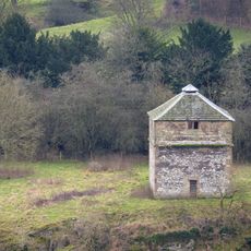
Pigeoncote 20 metres north west of entrance gatehouse to Haddon Hall
256 m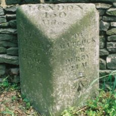
Milestone North Of Entrance To Haddon Barn
101 m
Lathkill House Farmhouse
2.1 km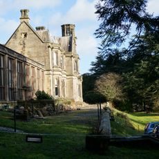
Terrace, retaining walls, steps and gates to south and east of Burton Closes
2 km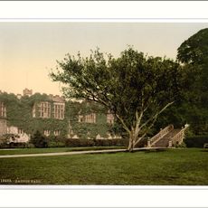
Garden Terraces And Steps To South East Of Haddon Hall
292 m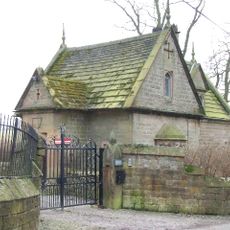
The Lodge
1.9 km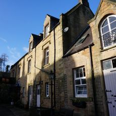
Haddon House Farmhouse with attached outbuildings and gateways
1.6 km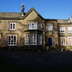
Haddon House with attached wall and archway
1.7 km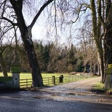
Entrance gateway to Haddon House and Haddon House Farmhouse
1.6 km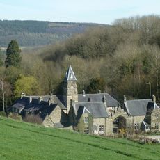
Burton Closes Mews
2 km
Milestone, near Oxclose Wood, S of A6 jct
1.2 kmVisited this place? Tap the stars to rate it and share your experience / photos with the community! Try now! You can cancel it anytime.
Discover hidden gems everywhere you go!
From secret cafés to breathtaking viewpoints, skip the crowded tourist spots and find places that match your style. Our app makes it easy with voice search, smart filtering, route optimization, and insider tips from travelers worldwide. Download now for the complete mobile experience.

A unique approach to discovering new places❞
— Le Figaro
All the places worth exploring❞
— France Info
A tailor-made excursion in just a few clicks❞
— 20 Minutes