Rippon Tor Rifle Range, Military shooting range in Dartmoor, England
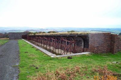
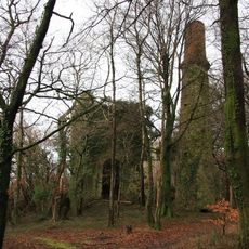
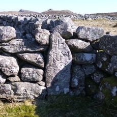
Rippon Tor Rifle Range is a disused shooting range on Dartmoor, in the English county of Devon, now left as an open-air ruin on the moorland. The site features brick embankments, reinforced supports, and trench systems that are still visible across the open ground.
The range was built in 1942 to give British soldiers a place to train in marksmanship during World War II. It stayed in use after the war ended and was only closed in 1977, when it was left as it stood.
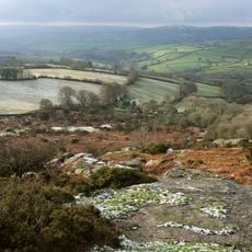
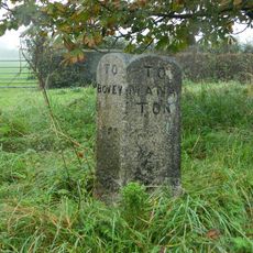
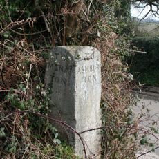
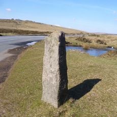
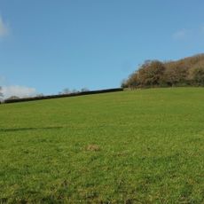
The name comes from the nearby hilltop of Rippon Tor, which rises visibly above the surrounding moorland. Walkers who visit today often pause at the brick structures and trench lines to take in what daily life at a training ground might have looked like.
The ground is uneven and can be boggy, so sturdy waterproof footwear is a good idea before setting out. Information boards are placed around the site to help visitors follow the layout and understand what they are looking at.
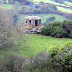
The site still has a preserved markers gallery, a sheltered area where soldiers operated the targets during live firing without being exposed to the line of fire. This type of structure is rarely found in such an open setting, making it worth a close look during any visit.
The community of curious travelers
AroundUs brings together thousands of curated places, local tips, and hidden gems, enriched daily by 60,000 contributors worldwide.