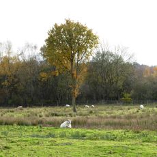
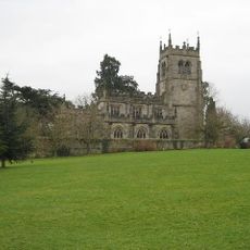
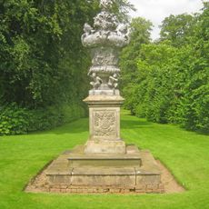
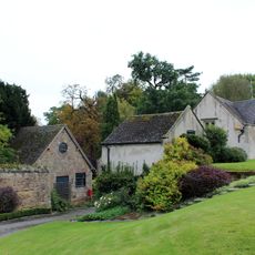
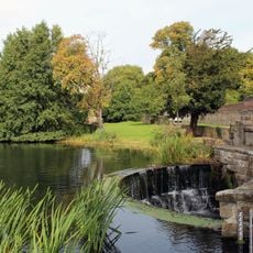
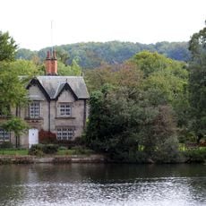
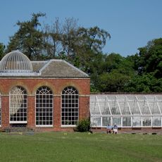
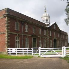
Staunton Harold, human settlement in England
Location: North West Leicestershire
Website: http://stauntonharold.leicestershireparishcouncils.org/
Website: http://stauntonharold.leicestershireparishcouncils.org
GPS coordinates: 52.78400,-1.44000
Latest update: May 3, 2025 18:04
Calke Abbey
2.1 km
Church of St Mary and St Hardulph, Breedon on the Hill
3.6 km
Staunton Harold Hall
86 m
Staunton Harold Reservoir
3 km
Coleorton Hall
3.8 km
Smisby lock-up
3.5 km
Breedon Cloud Wood and Quarry
3.6 km
Dimminsdale
698 m
Church of St James
3.5 km
The Bulwarks (earthworks)
3.6 km
Pasture and Asplin Woods
4.6 km
Lount Meadows
1.9 km
Church of St Giles, Calke
1.8 km
Church of St Mary, Coleorton
3.8 km
Church of St Matthew
2.8 km
Chapel Of The Holy Trinity
124 m
Lock Up And Pound
3.5 km
Lock up known as The Round House, at the junction of Church Street and St Matthew's Avenue
3 km
Smisby War Memorial
3.5 km
Pedestal And Four Seasons Vase In Melbourne Hall Gardens
4.1 km
Breedon on the Hill War Memorial
3.2 km
Outbuilding To North Of The Old Mill
4.2 km
Overflow System For Melbourne Pond
4 km
Pool House And Attached Garden Railings
4.1 km
Conservatory, Attached Garden Walls And Tunnel
1.7 km
Milepost At Os Sk 403228
3.1 km
The Old Mill
4.2 km
Stables And Riding School
2.2 kmReviews
Visited this place? Tap the stars to rate it and share your experience / photos with the community! Try now! You can cancel it anytime.
Discover hidden gems everywhere you go!
From secret cafés to breathtaking viewpoints, skip the crowded tourist spots and find places that match your style. Our app makes it easy with voice search, smart filtering, route optimization, and insider tips from travelers worldwide. Download now for the complete mobile experience.
A unique approach to discovering new places❞
— Le Figaro
All the places worth exploring❞
— France Info
A tailor-made excursion in just a few clicks❞
— 20 Minutes