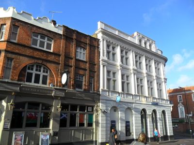
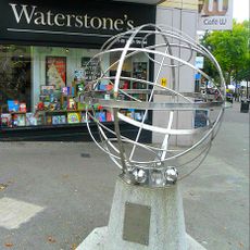
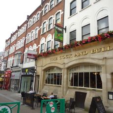
Sutton High Street, Pedestrian retail zone in Sutton, GB.
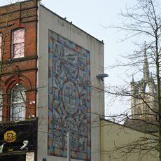
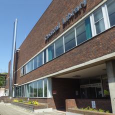
Sutton High Street is a pedestrian shopping area in the town center with retail shops, restaurants, and cafés along its length. The area is shaped by shopping centers, open spaces, and various businesses that serve daily visitors and residents.
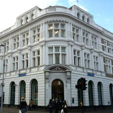
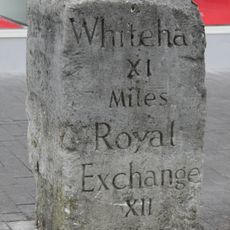
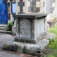
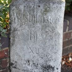
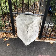
The street developed from a medieval trade route connecting London with Brighton and gave it importance far beyond the local area. The location gained special standing in the 18th century when regulated road connections made it an important trading place.
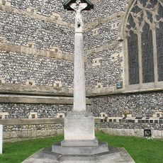
This street has long been the commercial heart of Sutton and shaped daily life for many people in the area. Today this role is visible in the gathering places, cafés, and shops that define the streetscape and reflect local community life.
The area is easy to navigate on foot with many routes to reach different shops and restaurants. Visitors find plenty of seating areas and quiet zones where they can spend time without leaving the surroundings.
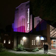
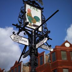
A local pub was the site of early performances by musicians who later became world famous in the 1960s. The location keeps memory of those times, even though the music scene has changed significantly since then.
Location: London Borough of Sutton
GPS coordinates: 51.36552,-0.19409
Latest update: December 8, 2025 20:00
Secombe Theatre
475 m
Sutton twin towns mural
597 m
St Nicholas Church
332 m
Sutton heritage mosaic
409 m
Barclays Bank building, Sutton
500 m
Manor Park
386 m
The Cock sign on Sutton High Street
502 m
The Messenger
732 m
All Saints Church
802 m
Trinity Church
431 m
Millennium Dial Armillary
409 m
Devonshire Avenue Nature Area
1.3 km
St Alban's, Cheam
912 m
Church of St Barnabas
758 m
Christ Church
1.2 km
Gibson Mausoleum in St Nicholas' Churchyard
363 m
Sutton Police Station
522 m
26 And 28, High Street
572 m
Sutton War Memorial
483 m
Benhilton War Memorial
785 m
Sutton Central Library
436 m
Sutton Baptist Church Including The Church Hall And Number 21 (Sutton Baptist Church Sunday School)
486 m
Milestone in Sutton High Street
54 m
Tomb of the Hall family in the churchyard of St Nicholas
343 m
Tomb of Cecil Talbot in the churchyard of St Nicholas
330 m
Milestone outside No. 135 Cheam Road, Cheam
1.1 km
Number 12 Sewer Ventilation Column on Hillcroome Road
1.1 km
Milestone, Cheam Road, by No. 135, opp. Carlisle Road
1.1 kmVisited this place? Tap the stars to rate it and share your experience / photos with the community! Try now! You can cancel it anytime.
Discover hidden gems everywhere you go!
From secret cafés to breathtaking viewpoints, skip the crowded tourist spots and find places that match your style. Our app makes it easy with voice search, smart filtering, route optimization, and insider tips from travelers worldwide. Download now for the complete mobile experience.
A unique approach to discovering new places❞
— Le Figaro
All the places worth exploring❞
— France Info
A tailor-made excursion in just a few clicks❞
— 20 Minutes