
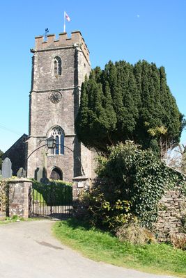
Church of Saint Mary, church in Molland, Devon, UK
Location: Molland
Inception: 15 century
GPS coordinates: 51.04250,-3.70178
Latest update: March 3, 2025 02:26

Stone circle on Withypool Hill 670m ESE of Portford Bridge
6.7 km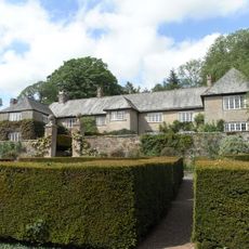
Whitechapel, Bishops Nympton
5.8 km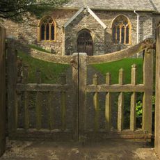
Church of St Petrock
4.5 km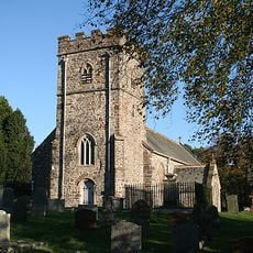
Church of St Peter
7 km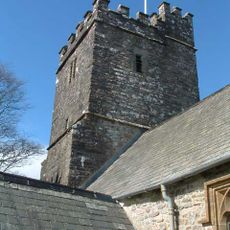
Church of St Giles
5.8 km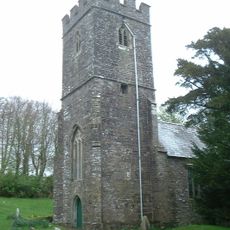
Church of St Michael
6.2 km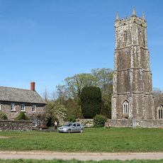
Church of St Mary
6.8 km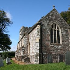
Church of Saint Peter
2.9 km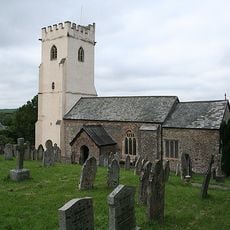
Church of St Peter
5.7 km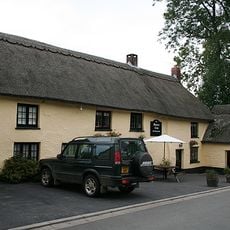
Masons Arms
5.6 km
Peartree Cottage
6.7 km
Crosse Cottage
6.9 km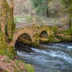
Bicknor Bridge At Ss 7385 2794 (That Part In North Molton Cp)
7 km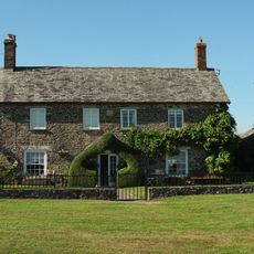
Capitol Farmhouse Including Walls To Garden To The South
6.9 km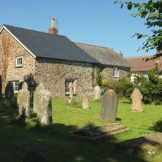
Victoria House
6.8 km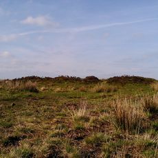
Bowl barrow and round cairn on Withypool Hill, 850m and 820m east of Portford Bridge
6.9 km
Bottreaux Mill Tenement And Adjoining Stable
2.4 km
Island House
6.8 km
Chest Tomb About 3 Metres South West Of The Tower Of The Church Of St Peter
7 km
Barton View Vicarage View
6.7 km
Lychgate, Gates And Churchyard Wall South And West Of The Church Of St Mary
6.9 km
The Retreat
6.8 km
Middle Lee Farmhouse
2 km
Great Avercombe Farmhouse
6.7 km
Gate Piers, Gates And Railings To The Churchyard East Of The Church Of St Mary
6.8 km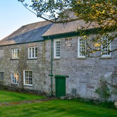
West Molland Barton
1.5 km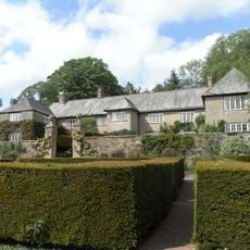
Garden Walls And Gate Piers To Garden Immediately South Of Whitechapel Manor
5.8 km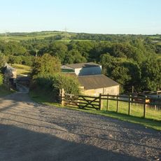
Barn And Shippon Approximately 20 Metres To South West Of West Lee Farmhouse
1.8 kmVisited this place? Tap the stars to rate it and share your experience / photos with the community! Try now! You can cancel it anytime.
Discover hidden gems everywhere you go!
From secret cafés to breathtaking viewpoints, skip the crowded tourist spots and find places that match your style. Our app makes it easy with voice search, smart filtering, route optimization, and insider tips from travelers worldwide. Download now for the complete mobile experience.

A unique approach to discovering new places❞
— Le Figaro
All the places worth exploring❞
— France Info
A tailor-made excursion in just a few clicks❞
— 20 Minutes