
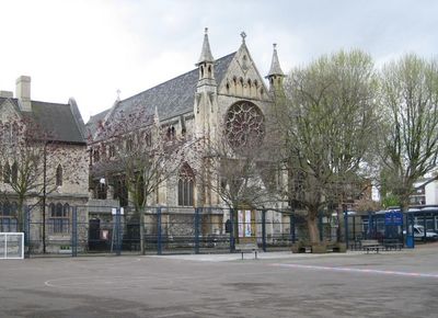
Church of St Anne, church in the United Kingdom
Location: London Borough of Tower Hamlets
GPS coordinates: 51.52110,-0.06790
Latest update: March 5, 2025 04:52
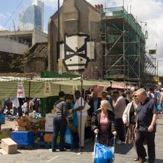
Brick Lane Market
365 m
Brick Lane Mosque
360 m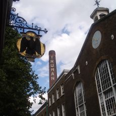
Black Eagle Brewery
238 m
Museum of Immigration and Diversity
347 m
Spitalfields City Farm
118 m
Rough Trade East
316 m
The Directors' House, Truman Brewery
292 m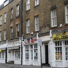
114-122, Brick Lane
288 m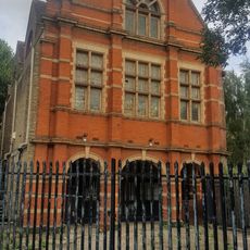
Davenant Foundation School (Rear Block)
367 m
34-38, Hanbury Street E1
318 m
57, Brick Lane E1
347 m
35, Buxton Street E1
146 m
24 And 26, Hanbury Street E1
351 m
39, Fournier Street E1
362 m
17, Princelet Street E1
354 m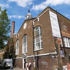
Vat House, Truman's Brewery
257 m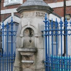
Drinking Fountain Christ Church School
362 m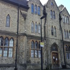
St Anne's Presbytery
28 m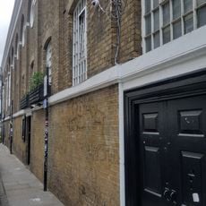
Former Stables At Truman's Brewery
259 m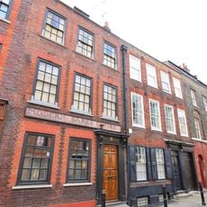
18-22, Princelet Street E1
353 m
Engineer's House, Truman's Brewery
264 m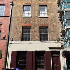
15, Princelet Street E1
359 m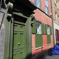
13, Princelet Street E1
365 m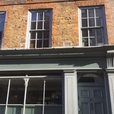
21, 23, 25, Princelet Street E1
336 m
14-22, Deal Street E1
70 m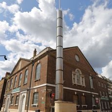
Brick Lane Jamme Masjid (Former School And Vestry To Neuve Eglise)
332 m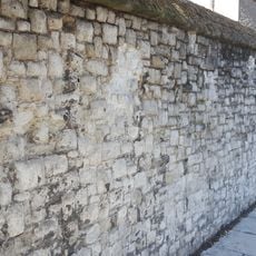
Garden Wall At St Anne's Presbytery
40 m
2-38, Cheshire Street E2
319 mVisited this place? Tap the stars to rate it and share your experience / photos with the community! Try now! You can cancel it anytime.
Discover hidden gems everywhere you go!
From secret cafés to breathtaking viewpoints, skip the crowded tourist spots and find places that match your style. Our app makes it easy with voice search, smart filtering, route optimization, and insider tips from travelers worldwide. Download now for the complete mobile experience.

A unique approach to discovering new places❞
— Le Figaro
All the places worth exploring❞
— France Info
A tailor-made excursion in just a few clicks❞
— 20 Minutes