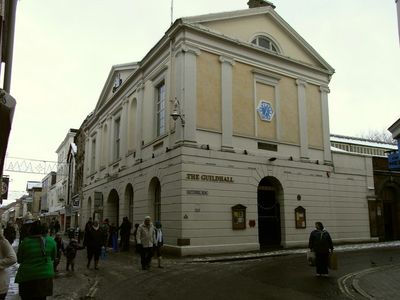
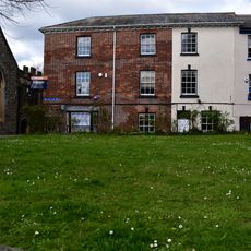
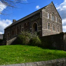
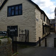
The Guildhall, Grade II* listed gildhouse in Barnstaple, England
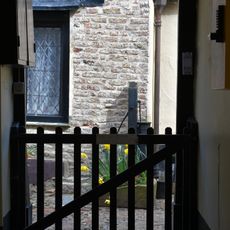
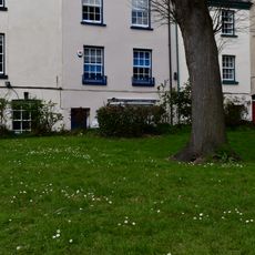
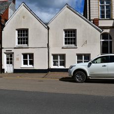
The Guildhall is a listed guild meeting house in Barnstaple featuring architectural elements that span different time periods. Its stone walls, exposed wooden beams, and traditional crafted details are visible throughout the interior and exterior.
This building was established in medieval times as a central meeting place for merchants and trade guilds that shaped Barnstaple's economic growth. Over the centuries it has been adapted and rebuilt to serve changing needs while maintaining its role as a civic hub.
The building hosts civic celebrations and town gatherings where people meet to discuss local matters and mark important community occasions. These events show how it remains woven into daily life in Barnstaple.
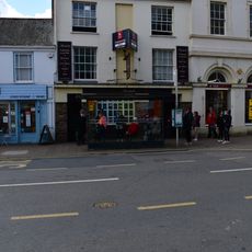
The building is open to visitors during set hours and offers guided tours that explain its architecture and civic role. It sits in the town center, making it easy to reach, and is best visited when conditions allow for comfortable exploration.
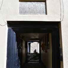
Inside are preserved artifacts and craft details showing how civic buildings evolved in North Devon over generations. This collection offers a rare glimpse into how local building skills and traditions stayed continuous through different eras.
Location: Barnstaple
GPS coordinates: 51.08040,-4.06012
Latest update: December 12, 2025 17:47
Church of Saints Peter and Paul
48 m
Dodderidgian Library
62 m
Former United Reform Church
87 m
Church House
76 m
Marshals Public House
117 m
Pannier Market
56 m
Gates And Gate Piers At West Entrance To Paternoster Row
44 m
Old School Coffee House Formerly Horwoods School
124 m
Lloyds Bank
105 m
St Annes Chapel And Old Grammar School Including Walls And Gates And Piers
101 m
1-16, Butchers Row
59 m
Pump In Courtyard Of Horwoods Almshouses
116 m
14, Holland Walk
88 m
4, St Peters Terrace
93 m
3, St Peters Terrace
88 m
2, St Peters Terrace
83 m
Castle Chambers
131 m
Iron Gates And Piers Between St Anne's Chapel And Parish Hall
112 m
Iron Bollards Across Northern End Of Lane To West Of Church House
67 m
5, St Peters Terrace
100 m
Iron Bollards Across Southern End Of Church Lane To West Of Paiges Almshouses
87 m
14, Cross Street
129 m
Parish Hall Including Boundary Wall And Gates Enclosing Front Lawn
106 m
Paiges Almshouses
98 m
73, High Street
66 m
74, High Street
56 m
Horwoods Almshouses
114 m
8-11, Holland Walk
72 mVisited this place? Tap the stars to rate it and share your experience / photos with the community! Try now! You can cancel it anytime.
Discover hidden gems everywhere you go!
From secret cafés to breathtaking viewpoints, skip the crowded tourist spots and find places that match your style. Our app makes it easy with voice search, smart filtering, route optimization, and insider tips from travelers worldwide. Download now for the complete mobile experience.
A unique approach to discovering new places❞
— Le Figaro
All the places worth exploring❞
— France Info
A tailor-made excursion in just a few clicks❞
— 20 Minutes