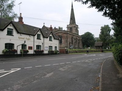
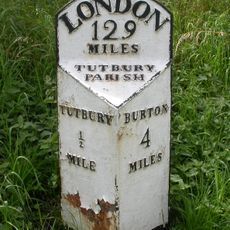
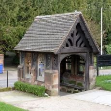
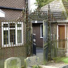
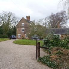
Church of St Mary, Rolleston-on-Dove, Medieval parish church in Rolleston-on-Dove, England.
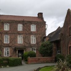
Church of St Mary is a medieval parish building in Rolleston-on-Dove featuring a square bell tower and extensive stained glass windows. The structure displays traditional English architectural characteristics developed across multiple centuries of construction work.
The building was founded around 1150 and kept its religious purpose through significant architectural reworking in medieval and Victorian times. These transformations shaped how it looks and functions today.
The building serves as a gathering place where neighbors meet regularly for coffee and conversation in its old school room. Beyond worship, it functions as a social center that helps local people stay connected to their community.
Access to the building is via a ramped pathway, and the interior has level floors throughout for easy movement. Street parking is located conveniently near the main entrance.
During Thursday communion services in the Lady Chapel, worshippers sit in a circle rather than facing forward. This arrangement creates a different kind of gathering that encourages direct conversation among those present.
Location: Rolleston on Dove
Inception: 12 century
GPS coordinates: 52.84650,-1.65157
Latest update: December 12, 2025 17:44
St Mary's Church, Marston on Dove
1.9 km
Four Gate Piers Adjacent To No 9 Church Road
217 m
Ridgway Memorial Approximately 30M West Of Tower Of Church Of St Mary
28 m
1, Chapel Lane
387 m
School And Attached House Approximately 100M West Of Church Of St Mary
49 m
Milepost At Beam Hill Cross Roads (Ngr Sk2346125998)
1.7 km
The Spread Eagle Public House
46 m
Brookhouse Inn
338 m
Craythorne Hall (Now Includes Craythorne Grange)
1.3 km
14 And 16, Burnside
174 m
1, Beacon Road
430 m
5 And 6, Bladons Yard
135 m
Milepost At Sk2161028370
2.1 km
Dower House
73 m
Perimeter Wall To East, North And South Of The Almshouses, Nos. 2, 4, 6, 8 And 12
149 m
Barn Farmhouse
232 m
Lychgate And War Memorial To Church Of St Mary
12 m
3, Beacon Road
421 m
Anglo-Scandinavian cross, St Mary's churchyard
16 m
Milepost, Tutbury Road, jct with BeamHill Road at Outwoods Cross
1.7 km
The Almshouses
128 m
Hand Pump Approximately 10M East Of The Almshouses
134 m
Milepost at SK 224 270
1.3 km
No 9 And Adjacent Cast Iron Railings
225 m
Churchyard Railings And Gate Approximately 100M To West Of Church Of St Mary
70 m
The Croft House
169 m
Tutbury Mill And House
1.7 km
Milepost, S end of Tutbury by-pass, just E of on roundabout
2.1 kmVisited this place? Tap the stars to rate it and share your experience / photos with the community! Try now! You can cancel it anytime.
Discover hidden gems everywhere you go!
From secret cafés to breathtaking viewpoints, skip the crowded tourist spots and find places that match your style. Our app makes it easy with voice search, smart filtering, route optimization, and insider tips from travelers worldwide. Download now for the complete mobile experience.
A unique approach to discovering new places❞
— Le Figaro
All the places worth exploring❞
— France Info
A tailor-made excursion in just a few clicks❞
— 20 Minutes