
The Belvedere, building in the grounds of Powderham Castle
Location: Powderham
Inception: 1771
GPS coordinates: 50.64800,-3.46924
Latest update: March 2, 2025 20:05

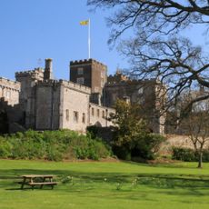
Powderham Castle
861 m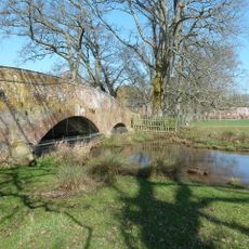
Powderham Castle Bridge
815 m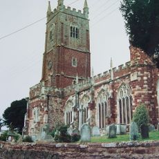
Church of All Saints
969 m
1 and 3, Church Road
551 m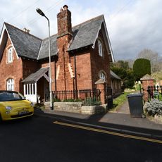
House In West Corner Of The Churchyard
989 m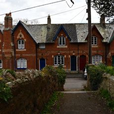
1-9, Church Street
973 m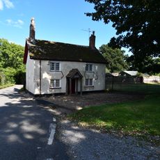
Powderham Lodge
569 m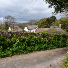
Peacock Cottage
600 m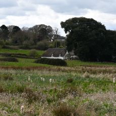
Woodpecker Cottage
604 m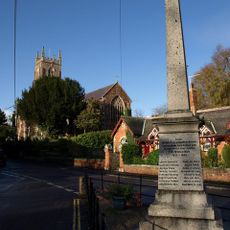
Kenton War Memorial
943 m
Verbena
528 m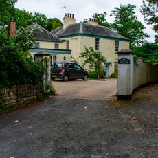
The Old Vicarage
873 m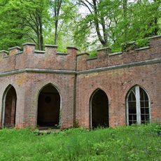
Gothic Tea House In The American Garden At Powderham Castle
390 m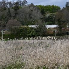
Kitchen Garden Walls Including Glasshouses Wnw Of Powderham Castle
369 m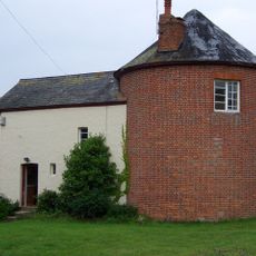
Round House
630 m
The Old Schoolhouse
473 m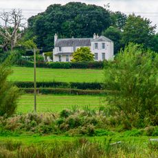
High House
743 m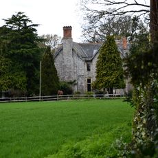
Powderham House
825 m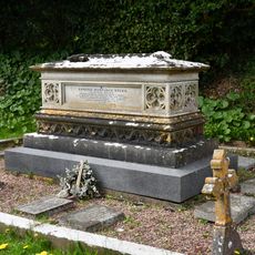
Studd Chest Tomb In North-East Corner Of The Churchyard Of The Church Of All Saints
927 m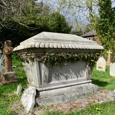
Furse Chest Tomb About 18 Metres North Of The Vestry Door Of The Church Of All Saints
939 m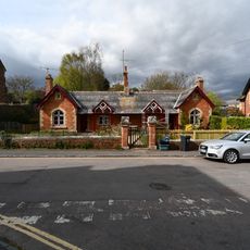
The Almshouses Including Garden Wall And Gate Piers In Front
937 m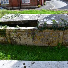
Chest Tomb About 8 Metres South East Of The Porch Of The Church Of All Saints
973 m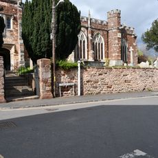
Churchyard Walls Including A Pair Of Gates To The South And A Pair To The North West Of The Church Of All Saints
984 m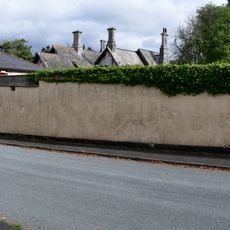
Penhayes
948 m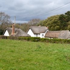
Trelawn
588 m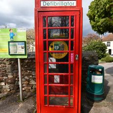
K6 Telephone Kiosk
950 m
Stables House
706 m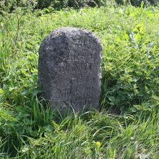
Milestone, Exeter Hill, 50m N of minor road to Smithy
662 mReviews
Visited this place? Tap the stars to rate it and share your experience / photos with the community! Try now! You can cancel it anytime.
Discover hidden gems everywhere you go!
From secret cafés to breathtaking viewpoints, skip the crowded tourist spots and find places that match your style. Our app makes it easy with voice search, smart filtering, route optimization, and insider tips from travelers worldwide. Download now for the complete mobile experience.

A unique approach to discovering new places❞
— Le Figaro
All the places worth exploring❞
— France Info
A tailor-made excursion in just a few clicks❞
— 20 Minutes