
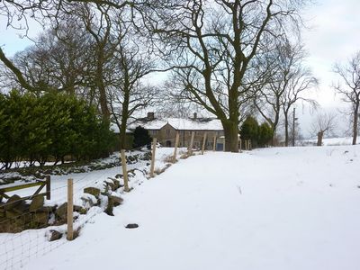
Eddy Holes, farmhouse in Blackburn, Lancashire, UK
Location: Blackburn with Darwen
GPS coordinates: 53.77400,-2.46306
Latest update: April 10, 2025 10:32
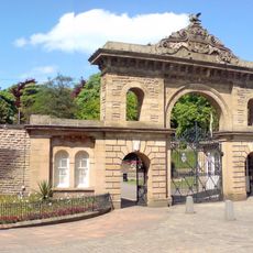
Corporation Park
2.9 km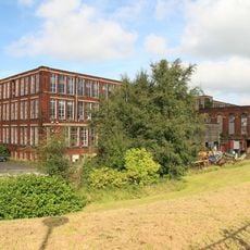
Imperial Mill
2.3 km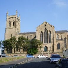
Holy Trinity Church, Blackburn
2.7 km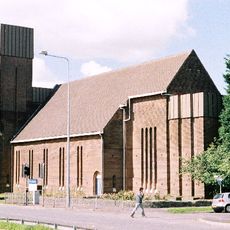
St Gabriel's Church, Blackburn
917 m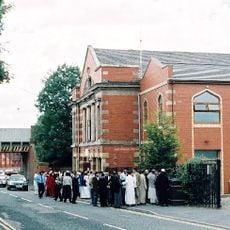
Masjid-E-Sajedeen mosque
1.8 km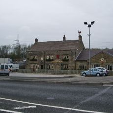
Red Lion Inn
2.5 km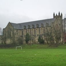
St Alban's Church, Blackburn
2.5 km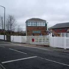
Daisyfield Signal Box
2.2 km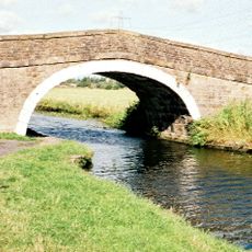
Cut Lane Bridge (Number 107)
2 km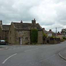
Myles Wife Hey
604 m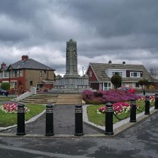
Rishton War Memorial
2.7 km
St Stephen's Church, Blackburn
1.8 km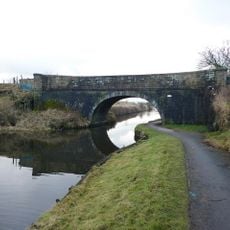
Canal Bridge Number 106 (Side Beet Bridge)
1.3 km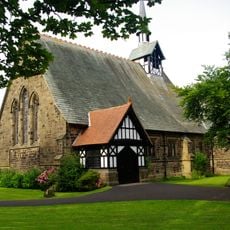
St Peter's Church, Salesbury
2.4 km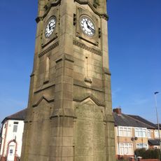
Little Harwood War Memorial
1.7 km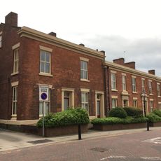
22-27, Richmond Terrace
2.9 km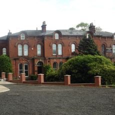
42-46, Preston New Road
3 km
Iron Structure At East End Of Warehouses West Of Navigation Bridge On Bridge
2.8 km
Canal House
2.8 km
51 And 53 James Street
2.9 km
Numbers 25 To 31A Victoria Street Including Number 10 James Street
2.9 km
British Waterways Office
2.8 km
1-21, Richmond Terrace
3 km
A, B, C, D And E Warehouses Of Entwistle And Oddy Limited
2.9 km
St Stephens Conservative Club
1.6 km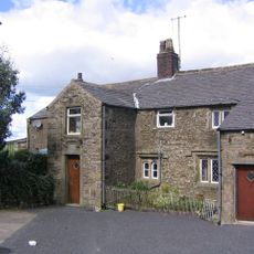
Upper Mickle Hey Farmhouse And Attached Buildings To South
271 m
Cobwall Viaduct
1.9 km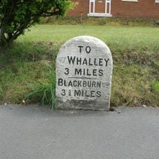
Milestone, Near Anderton House
2.2 kmReviews
Visited this place? Tap the stars to rate it and share your experience / photos with the community! Try now! You can cancel it anytime.
Discover hidden gems everywhere you go!
From secret cafés to breathtaking viewpoints, skip the crowded tourist spots and find places that match your style. Our app makes it easy with voice search, smart filtering, route optimization, and insider tips from travelers worldwide. Download now for the complete mobile experience.

A unique approach to discovering new places❞
— Le Figaro
All the places worth exploring❞
— France Info
A tailor-made excursion in just a few clicks❞
— 20 Minutes