
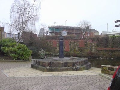
Iron Structure At East End Of Warehouses West Of Navigation Bridge On Bridge
Iron Structure At East End Of Warehouses West Of Navigation Bridge On Bridge, human-made geographic feature in Blackburn with Darwen, Lancashire, UK
Location: Blackburn with Darwen
GPS coordinates: 53.74913,-2.47215
Latest update: March 9, 2025 12:18
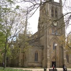
Blackburn Cathedral
636 m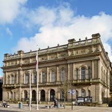
Town Hall
772 m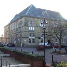
Blackburn Museum and Art Gallery
794 m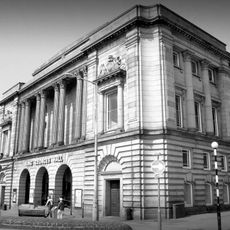
King George's Hall
918 m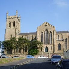
Holy Trinity Church, Blackburn
272 m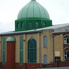
Jaame Masjid
586 m
Lewis Textile Museum
803 m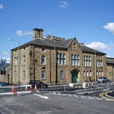
Canterbury Street drill hall, Blackburn
973 m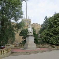
Railings, Piers, Lampholders And Statue At East End Of Cathedral Churchyard
590 m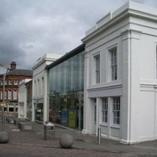
20, Church Street
709 m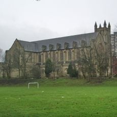
St Alban's Church, Blackburn
464 m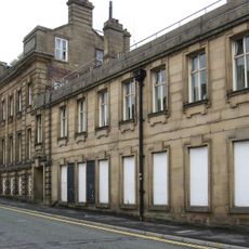
Central Police Station And Court House
924 m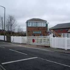
Daisyfield Signal Box
697 m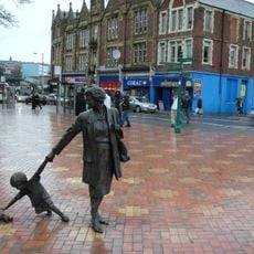
Grandmother with Child
550 m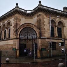
Lloyds Bank Old Bank
758 m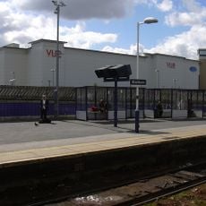
Vue Blackburn
646 m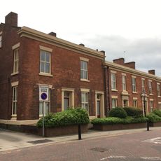
22-27, Richmond Terrace
785 m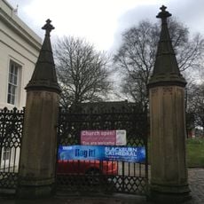
Cathedral Gateway At North West Corner Of Churchyard
716 m
51 And 53 James Street
697 m
Canal House
91 m
Numbers 25 To 31A Victoria Street Including Number 10 James Street
721 m
34, Darwen Street
762 m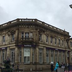
National Westminster Bank
801 m
British Waterways Office
63 m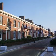
1-21, Richmond Terrace
859 m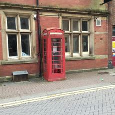
K6 Telephone Kiosk Opposite King Georges Hall
872 m
A, B, C, D And E Warehouses Of Entwistle And Oddy Limited
70 m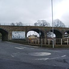
Cobwall Viaduct
924 mReviews
Visited this place? Tap the stars to rate it and share your experience / photos with the community! Try now! You can cancel it anytime.
Discover hidden gems everywhere you go!
From secret cafés to breathtaking viewpoints, skip the crowded tourist spots and find places that match your style. Our app makes it easy with voice search, smart filtering, route optimization, and insider tips from travelers worldwide. Download now for the complete mobile experience.

A unique approach to discovering new places❞
— Le Figaro
All the places worth exploring❞
— France Info
A tailor-made excursion in just a few clicks❞
— 20 Minutes