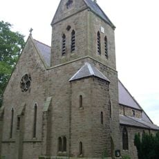
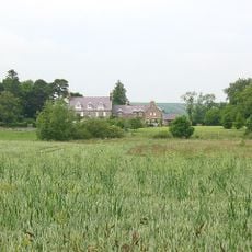
Lilburn Tower, 19th-century country house in Lilburn, England
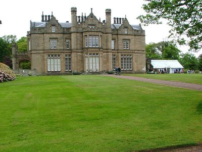
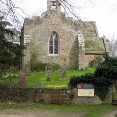
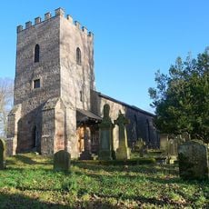
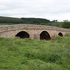
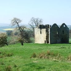
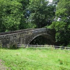
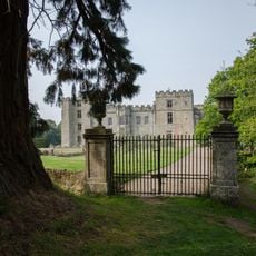
Lilburn Tower is a country house in Northumberland, England, built in a Gothic Revival style with prominent stonework and set within a landscaped park. The property also holds an observatory, walled gardens, and the ruins of an older manor house on the same grounds.
Lilburn Tower was built from 1829 onward, replacing earlier structures that had occupied the same land for centuries. The architect John Dobson designed the house in the Gothic Revival style, giving the building its pointed stonework and tower.
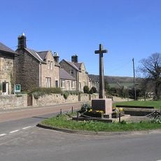
The name Lilburn comes from the small burn, or stream, that runs through the area, giving the estate its local identity. Visitors walking the grounds can see how the landscape was shaped to frame the house and connect it to the surrounding countryside.
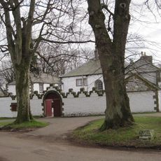
The grounds open to visitors once a year, typically in June, as part of a charity open day. It is worth checking the exact date in advance, as access outside this time is not generally available to the public.
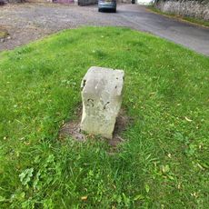
When the foundation stone was laid in 1829, a time capsule containing coins from the reign of George IV was buried beneath it. This was a common tradition of the era, meant to leave a record of the moment for anyone who might one day dig down to the foundations.
The community of curious travelers
AroundUs brings together thousands of curated places, local tips, and hidden gems, enriched daily by 60,000 contributors worldwide.