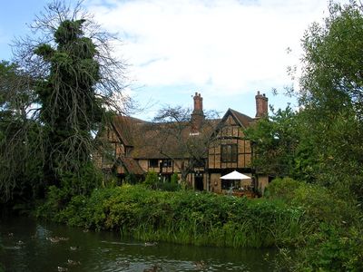
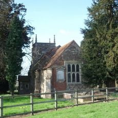
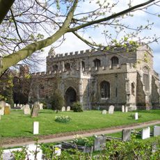
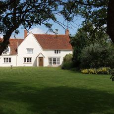
Moreteyne Manor, Grade II* listed manor house in Marston Moreteyne, England.
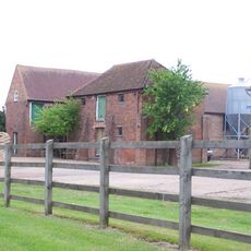
Moreteyne Manor is a Grade II* listed manor house in Marston Moreteyne with a rectangular moated layout surrounded by water and featuring timber-framing with red brick infill, jettied cross-wings, and mullioned windows. The central block and side wings form the complete structure of this historical estate.
The manor was built in the early 15th century and expanded in the 16th century before later serving as Moat Farm. Major renovations took place in 1880, significantly transforming the building's appearance and structure.
The manor reflects different building phases from medieval times through Victorian modifications, visible in the timber framing with brick infill and modern adaptations throughout the rooms. Visitors can see how the structure evolved across centuries through these architectural layers.
The manor operates today as a restaurant and wedding venue, allowing visitors to enter the historical building and experience its water-filled moat setting directly. The estate remains accessible to guests exploring the interior spaces and historic grounds.
One particularly notable detail is the original oak paneling that was removed from the building during the 1880 renovation. This valuable wall covering was transferred to Woburn Abbey, where it has remained preserved to this day.
The community of curious travelers
AroundUs brings together thousands of curated places, local tips, and hidden gems, enriched daily by 60,000 contributors worldwide.