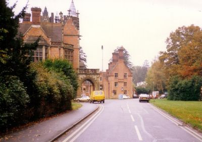
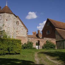
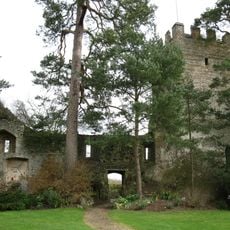
Borocourt Hospital, Grade II* listed former hospital in Rotherfield Peppard, England
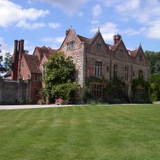
Borocourt Hospital is a Grade II* listed former hospital building in Rotherfield Peppard, Oxfordshire, built in scarlet brick with blue brick patterns and stone mullion windows. Towers with corner turrets line the front facade, and the overall style draws from French Gothic and Scottish Baronial architecture.
The building was constructed between 1874 and 1884 as a private country house called Wyfold Court for cotton merchant Edward Hermon. It was converted to hospital use in 1932 and operated as a psychiatric facility until 1993, after which it was turned into residential apartments starting in 2000.
The main corridor inside the building features a rib-vaulted ceiling, and the stained glass windows display royal coats of arms. These details reflect the original owner's desire to project wealth and social standing through architecture.
The building has been converted into private apartments and is not open to visitors for interior access. The exterior facade, with its decorative stonework and brickwork, can be observed from outside the grounds.
Stone gargoyles and heraldic beasts appear along the exterior walls and brick gables, details that were designed for a private home rather than any kind of medical facility. These figures are a reminder that the building was conceived as a country house meant to project social influence.
The community of curious travelers
AroundUs brings together thousands of curated places, local tips, and hidden gems, enriched daily by 60,000 contributors worldwide.