
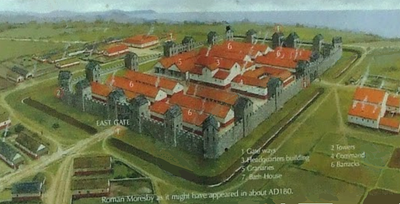
Gabrosentum Roman Fort, Roman fort in Parton, Copeland, England, UK
Location: Parton
Part of: Roman Cumbrian Coast defences, borders of the Roman Empire
GPS coordinates: 54.57270,-3.57592
Latest update: April 19, 2025 13:11
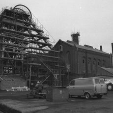
Haig Colliery
3.6 km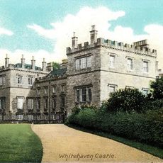
Whitehaven Hospital Or Infirmary
3.1 km
Moresby Hall
165 m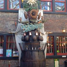
The Rum Story
2.9 km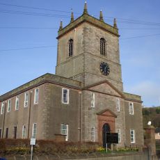
St James' Church, Whitehaven
2.5 km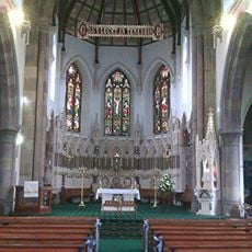
St Begh's Church, Whitehaven
3.4 km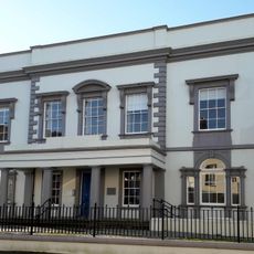
Whitehaven Town Hall
2.8 km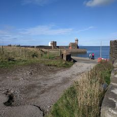
The Beacon
2.9 km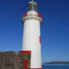
West Pier Lighthouse
2.7 km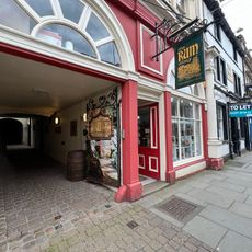
The Rum Story
2.9 km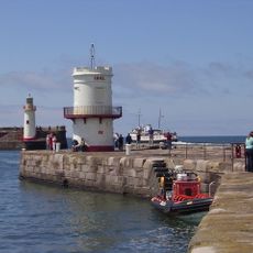
Whitehaven North Pier light
2.6 km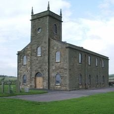
Church of St Bridget
170 m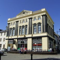
Co-operative Store
2.7 km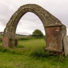
Chancel Arch To South Of Church Of St Bridget
141 m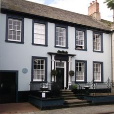
151 Queen Street
3 km
St Mark's Church
2.2 km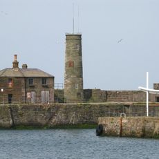
Old Quay Lighthouse
2.7 km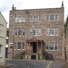
Somerset House
2.8 km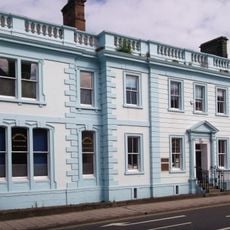
14, Scotch Street
3 km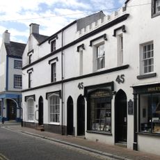
44,45, Roper Street
3 km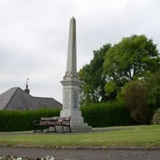
Distington War Memorial
3.1 km
Lowca War Memorial
804 m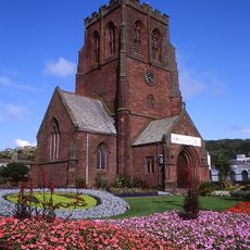
The St Nicholas Centre
2.8 km
Milestone To East Of Parton Police Station
263 m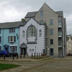
No 1 With Warehouse Attached To Rear
2.9 km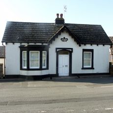
Bransty Toll Bar
1.1 km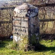
Milestone To North Of Boot Bridge
3.1 km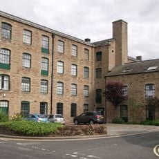
Barracks Mill
3.2 kmReviews
Visited this place? Tap the stars to rate it and share your experience / photos with the community! Try now! You can cancel it anytime.
Discover hidden gems everywhere you go!
From secret cafés to breathtaking viewpoints, skip the crowded tourist spots and find places that match your style. Our app makes it easy with voice search, smart filtering, route optimization, and insider tips from travelers worldwide. Download now for the complete mobile experience.

A unique approach to discovering new places❞
— Le Figaro
All the places worth exploring❞
— France Info
A tailor-made excursion in just a few clicks❞
— 20 Minutes