Chest opened
+${chestReward.xp} XP
Explorer
NOUVEAU ×${chestReward.collectible.quantity}
tapez pour fermer

See the monuments around you in AR Open chests in the app

Around Us is built for your phone — point your camera at the streets and discover the monuments and places around you in augmented reality. Around Us is built for your phone — chests unlock when you walk, explore and capture nearby places.

Enable Location

We need your location to show you interesting places around you

Discover nearby places

Find interesting locations and hidden gems around you

Precise directions

Get accurate directions and distances to places

Your location is never shared with other users. It's only used when you tap the location button.

Log in to your account

Start exploring — it's free

Trusted by 81,239 travelers worldwide

Continue with Google
Continue with Apple
or

We will send you a code to connect

By continuing, you accept our Terms and Conditions and our Privacy Policy

Check your inbox

We've sent a pincode in your inbox. Please enter the code below.

Discussion Reviews Photo
1.3k Popularity

Berth Hill, Contour fort in Maer, England

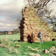
Berth Hill is a fortification that follows the natural shape of a sandstone hilltop and covers about 3.75 hectares. Multiple defensive earthwork lines encircle the hill, and two openings provide ways to enter the enclosed area.

This fort was built during the Iron Age and went through periods when people left it and later returned to strengthen it. Archaeological work in the 1960s and 1970s uncovered the different times when the site was in use.

The site shows how Iron Age people built their defenses by working with the natural landscape and its hills. You can see multiple lines of earthworks arranged in ways that reveal their practical knowledge of protection and control.

The site is easy to walk around, with the two entrances serving as natural starting points for exploring the earthworks. The gentle slopes make it simple to move across the different defensive lines.

A natural spring inside the eastern earthwork provided water to the fort's inhabitants and was later tapped to supply Maer Hall through a pipe system. This connection shows how an ancient water source remained valuable long after the fort was abandoned.

The community of curious travelers

AroundUs brings together thousands of curated places, local tips, and hidden gems, enriched daily by 60,000 contributors worldwide.
Start exploring
Location
GPS coordinates
52.94857,-2.31977
Latest update
August 4, 2026 06:08
Around this place
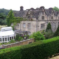
Maer Hall
United Kingdom

Maer Hall

947 m
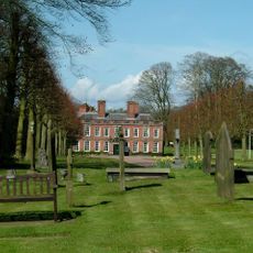
Whitmore Hall
United Kingdom

Whitmore Hall

3.3 km
Madeley Old Manor
United Kingdom

Madeley Old Manor

3.5 km
Church of St Peter
United Kingdom

Church of St Peter

984 m
Church of St Mary and All Saints
United Kingdom

Church of St Mary and All Saints

3.1 km
Church of St Lawrence
United Kingdom

Church of St Lawrence

3 km
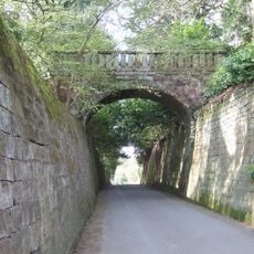
Park Bridge, Steps And Revetment Walls About 100 Metres North Of Maer Hall
United Kingdom

Park Bridge, Steps And Revetment Walls About 100 Metres North Of Maer Hall

871 m
United Kingdom

Harding Memorial Approximately 4 Metres South West Of Tower Of Church Of St Peter

984 m
United Kingdom

Harding Memorial Approximately 20 Metres South East Of Church Of St Peter

1 km
United Kingdom

Aston Memorial Approximately 2 Metes South Of Nave Of Church Of St Peter

996 m
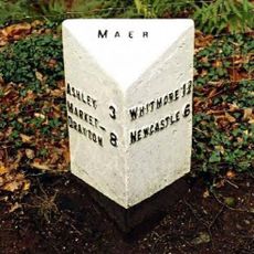
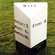
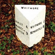
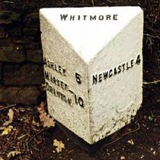
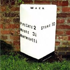
Milepost At Ngr Sj 7853 3968
United Kingdom

Milepost At Ngr Sj 7853 3968

617 m
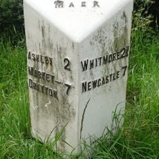
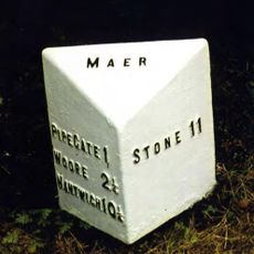
Milepost At Ngr Sj 7823 3884
United Kingdom

Milepost At Ngr Sj 7823 3884

433 m
United Kingdom

Milepost At Ngr Sj 8101 3879

2.4 km
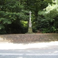
Maer War Memorial
United Kingdom

Maer War Memorial

414 m
United Kingdom

Castle Hill

2.6 km
United Kingdom

Sundial Approximately 15 Metres North Of East End Of Church Of St Lawrence

3 km
Milepost At Ngr Sj 7980 4054
United Kingdom

Milepost At Ngr Sj 7980 4054

1.9 km
Milepost At Ngr Sj 8132 4112
United Kingdom

Milepost At Ngr Sj 8132 4112

3.4 km
Milepost At Ngr Sj 7724 3878
United Kingdom

Milepost At Ngr Sj 7724 3878

1.4 km
Milepost At Ngr Sj 7527 3984
United Kingdom

Milepost At Ngr Sj 7527 3984

3.4 km
Milepost At Ngr Sj 7665 3897
United Kingdom

Milepost At Ngr Sj 7665 3897

2 km
Weston House Farmhouse
United Kingdom

Weston House Farmhouse

3.2 km
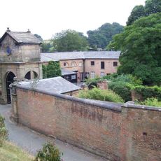
Gatehouse, flanking walls and bollards to Maer Hall
United Kingdom

Gatehouse, flanking walls and bollards to Maer Hall

989 m
Old Stable Block
United Kingdom

Old Stable Block

3.3 km
United Kingdom

Sundial Approximately 6 Metres South Of Chancel Of Church Of St Peter

1 km
United Kingdom

Fitch Memorial

3.1 km
United Kingdom

Rhodes Memorial Approximately 13 Meters South Of The Church Of St Mary And All Saints

3.1 km
United Kingdom

Dorothy Clive Garden

3.4 km
Show the full map
Reviews
Share your experience

No review yet

Discussions
Start a discussion...

No discussion yet

« Berth Hill - Contour fort in Maer, England » is provided by Around Us (aroundus.com). Images and texts are derived from Wikimedia project under a Creative Commons license. You are allowed to copy, distribute, and modify copies of this page, under the conditions set by the license, as long as this note is clearly visible.

Discover hidden gems everywhere you go!

From secret cafés to breathtaking viewpoints, skip the crowded tourist spots and find places that match your style. Our app makes it easy with voice search, smart filtering, route optimization, and insider tips from travelers worldwide. Download now for the complete mobile experience.

Around Us App Screenshot

A unique approach to discovering new places

Le Figaro

All the places worth exploring

France Info

A tailor-made excursion in just a few clicks

20 Minutes

Around Us
Travel Guide & Maps
Download

Send to your phone

QR Code
1

Open the camera app on your mobile.

2

Point at the QR code with your camera. A notification will appear.

3

Tap the notification to open the link.