Castle Dykes Henge, Neolithic archaeological site near Aysgarth, North Yorkshire, England.
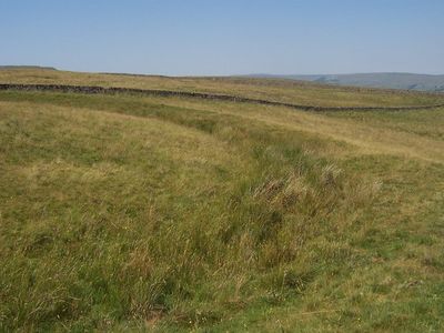
Castle Dykes Henge is a Neolithic site featuring a circular earthwork about 80 meters across located in the Yorkshire Dales National Park. The structure has an internal ditch and two entrance gaps that separate the enclosed area from the surrounding landscape.
The site dates to the Neolithic period when people in the region were establishing communities and developing early farming practices. Excavations in 1908 uncovered evidence of how these early inhabitants used the place and its importance for ceremonial purposes.
The circular earthwork shows how prehistoric communities gathered for rituals and expressed their connection to the land. Visitors can see how the banks and ditches created a dedicated space for shared ceremonies.
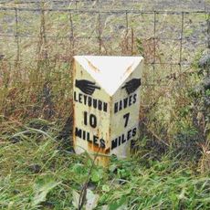
The site sits between the villages of Aysgarth and Thornton Rust in the National Park and is open to public access. Visitors should come prepared for outdoor conditions and bring suitable clothing for variable weather in the Dales.
Researchers collected soil samples from this location in recent years to learn more about the environment where early people lived. This work revealed details about the plants and landscape that surrounded the prehistoric inhabitants.
The community of curious travelers
AroundUs brings together thousands of curated places, local tips, and hidden gems, enriched daily by 60,000 contributors worldwide.