
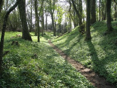
Denbury camp, hillfort in Devon
Location: Denbury and Torbryan
GPS coordinates: 50.50440,-3.67010
Latest update: April 1, 2025 15:00
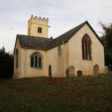
West Ogwell Church
1.6 km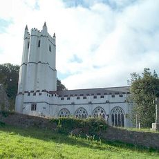
Holy Trinity Church, Torbryan
1.7 km
Church of St John the Baptist
2.5 km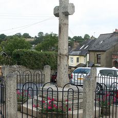
Ipplepen War Memorial
2.7 km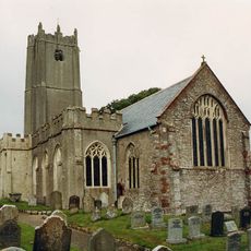
Church of St Andrew
2.6 km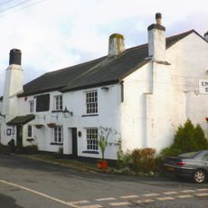
Union Inn
778 m
Church of St Peter and St Paul
2.7 km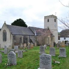
Church of St Mary the Virgin
790 m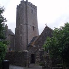
Church of St Bartholomew
2.6 km
Church House Inn
1.8 km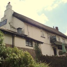
Jolly Sailor Inn
2.6 km
The Monk's Retreat Inn
2.7 km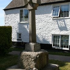
Socket-Stone Of Cross 7M North Church Tower Of St Mary The Virgin
779 m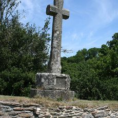
Cross In Churchyard 15 Metres East Of Lychgate
1.7 km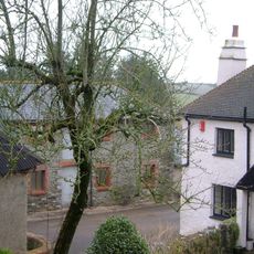
Lower Woodland Farmhouse
2.5 km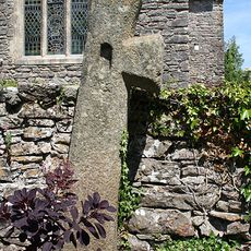
Church of St Bartholmew Cross Against South Wall in Churchyard
2.6 km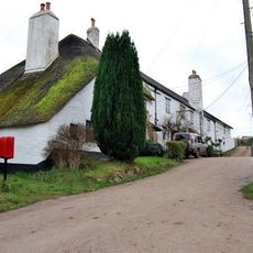
K6 Telephone Kiosk adjacent to Binkwell Cottages
1.8 km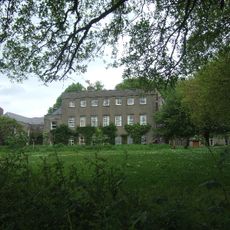
The Convent
1.6 km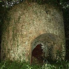
Pair Of Limekilns About 300 Metres South-West Of Chercombe Bridge
2.8 km
Binkwell Cottages
1.8 km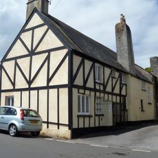
Old House, Including Outbuilding At North-West End
2.7 km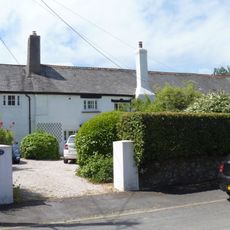
19,21 And 23, North Street
2.5 km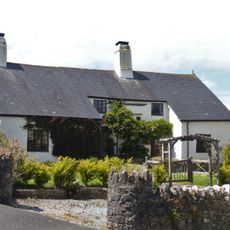
5 And 7, North Street
2.6 km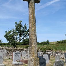
Cross In Churchyard 21 Metres North Of North East Corner Of Church Of St John The Baptist
2.5 km
Lychgate Approx 30 M East Of Church Of St Andrew
2.6 km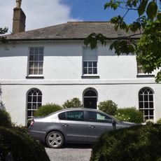
Penlee, Including Garden Boundary Wall Railings And Gate Piers To South-East
2.7 km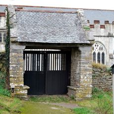
Lych Gate On South Side Of Churchyard
1.7 km
15, North Street
2.6 kmVisited this place? Tap the stars to rate it and share your experience / photos with the community! Try now! You can cancel it anytime.
Discover hidden gems everywhere you go!
From secret cafés to breathtaking viewpoints, skip the crowded tourist spots and find places that match your style. Our app makes it easy with voice search, smart filtering, route optimization, and insider tips from travelers worldwide. Download now for the complete mobile experience.

A unique approach to discovering new places❞
— Le Figaro
All the places worth exploring❞
— France Info
A tailor-made excursion in just a few clicks❞
— 20 Minutes