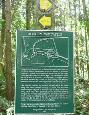
Rougemont Castle, Medieval ringwork castle in Kirkby Overblow, England
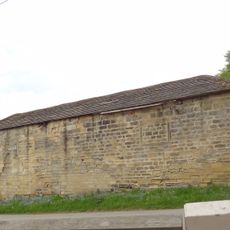
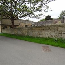
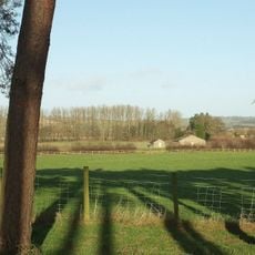
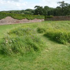
Rougemont Castle is a medieval ringwork fortress in North Yorkshire with a distinct circular earthwork and adjoining outer defences. The site includes fishponds and other features integrated into the rolling terrain.
The fortress dates from the Norman period when ringwork constructions were common defensive structures. It gained protected status in 1965, recognizing its importance as an example of medieval fortification design.
The name "Rougemont" refers to the reddish soil visible in this area, which shaped the early inhabitants' understanding of the land. The layout shows how people used this landscape for both defence and daily sustenance.
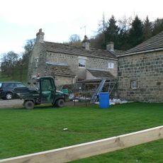
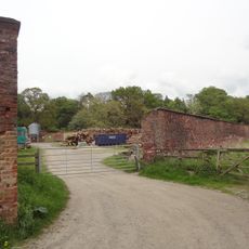
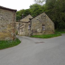
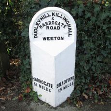
The site is accessible near the villages of Kirkby Overblow and Weeton where you can explore the grounds directly. Wear appropriate footwear for walking on uneven terrain and plan time to walk around the circular earthwork.
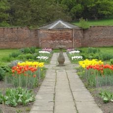
A complete medieval water management system with fishponds survives on the grounds, showing how inhabitants managed resources during extended periods of occupation. This intact infrastructure remains visible to visitors today and illustrates the practical rhythms of daily life.
The community of curious travelers
AroundUs brings together thousands of curated places, local tips, and hidden gems, enriched daily by 60,000 contributors worldwide.