
Bowl barrow north west of Telegraph House, bowl barrow in Elsted and Treyford, Chichester, England, UK
Location: Elsted and Treyford
GPS coordinates: 50.95270,-0.84977
Latest update: March 20, 2025 10:32
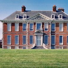
Uppark
2.9 km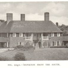
Monkton House
2.2 km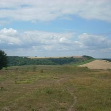
Devil's Jumps
1.6 km
Vandalian Tower
2.4 km
Harting Beacon: a hilltop enclosure, Anglo-Saxon burial mound and telegraph station on Beacon and Pen Hills
637 m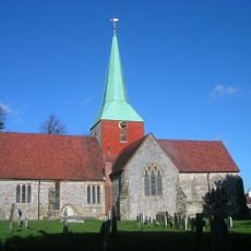
The Parish Church of St Mary & St Gabriel, South Harting
3 km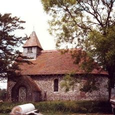
Church of St Mary
1.5 km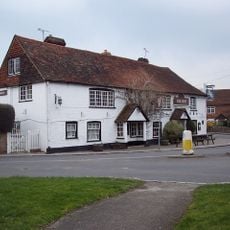
The Ship Inn
3 km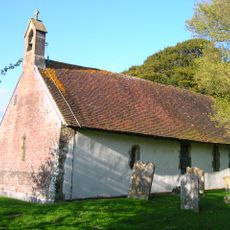
Church of St Andrew
2.7 km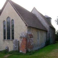
Church of St Michael
3.8 km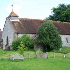
Church of St Peter
3 km
The Parish Church of St Paul
2.2 km
The Parish Church of St Mary
4.2 km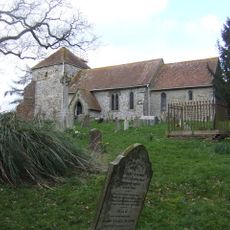
The Parish Church of St Mary
4.7 km
Ruins Of The Old Parish Church Of St Mary
1.8 km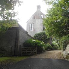
Treyford Manor
1.8 km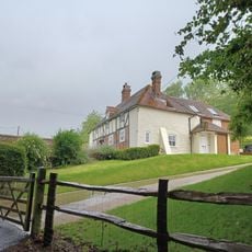
The Old Inn
3.9 km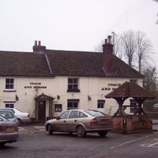
The Coach And Horses Public House
4.3 km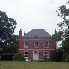
Kent House
2.4 km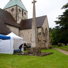
Harting War Memorial
3 km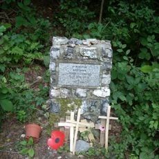
Hptm J. Oestermann Memorial, Treyford
1.5 km
The Stable Block At Up Park To The North West Of The House
3 km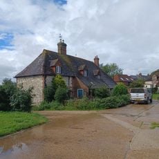
Marden Farmhouse
2.1 km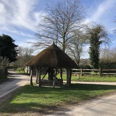
The Village Well Head And Pump
3.1 km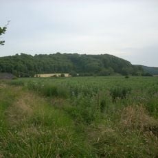
Torberry hillfort
3.9 km
Old Manor House
4.6 km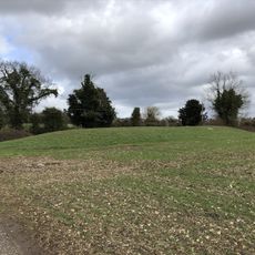
Bevis's Thumb long barrow, 370m west of Fernbeds Farm
3 km
Treyford Manor Farmhouse
1.9 kmReviews
Visited this place? Tap the stars to rate it and share your experience / photos with the community! Try now! You can cancel it anytime.
Discover hidden gems everywhere you go!
From secret cafés to breathtaking viewpoints, skip the crowded tourist spots and find places that match your style. Our app makes it easy with voice search, smart filtering, route optimization, and insider tips from travelers worldwide. Download now for the complete mobile experience.

A unique approach to discovering new places❞
— Le Figaro
All the places worth exploring❞
— France Info
A tailor-made excursion in just a few clicks❞
— 20 Minutes