
Bronze Age enclosure on Nore Hill, archaeological site in Chelsham and Farleigh, Tandridge, England, UK
Location: Chelsham and Farleigh
GPS coordinates: 51.29900,-0.02185
Latest update: April 6, 2025 22:48
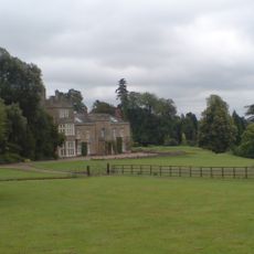
Titsey Place
3.6 km
Hutchinson's Bank
4.3 km
Saltbox Hill
3.6 km
Tatsfield Receiving Station
2.4 km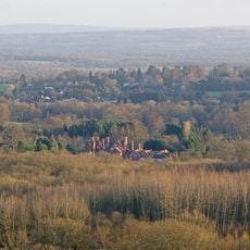
Woldingham & Oxted Downs
3.3 km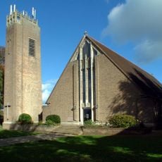
St Mark's Church
4.2 km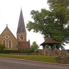
Church of St James the Greater
3.8 km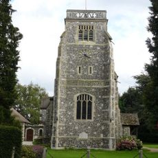
Church of St Paul
1.7 km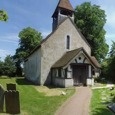
Church of St Mary the Virgin
2.8 km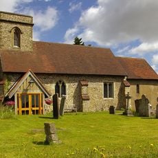
Church of St Mary the Virgin
3.9 km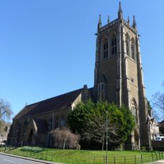
Church of St John
4.3 km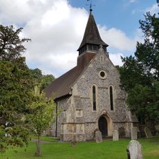
Church of All Saints
2.9 km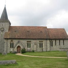
Church of St Leonard
1.9 km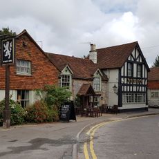
The White Lion Public House
2.5 km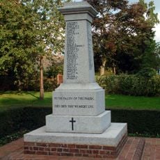
Biggin Hill Memorial Column
4.3 km
Miller Centre Theatre
4.2 km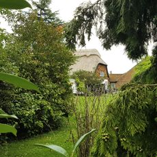
The Thatched Cottage
3.1 km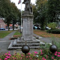
Warlingham War Memorial
2.6 km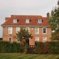
Norheads Farmhouse
3.4 km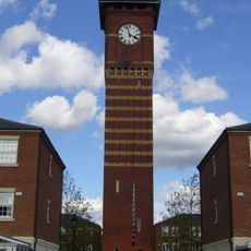
Warlingham Park Hospital Water Tower
2.3 km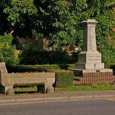
Water trough near Biggin Hill War Memorial at the junction of Jail Lane and Main Road
4.3 km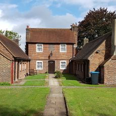
23-31, Leas Road
2.5 km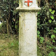
Tax Post North Of The Harrow Public House Ngr Tq 365597
2.7 km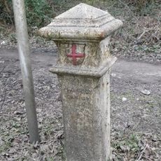
Coal Tax Post On The Junction Between King Henry's Drive And Boundary Line
4.2 km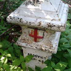
Post At Edge Of Littlebank Wood Ngr Tq 368450 595600
2.5 km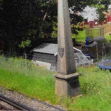
Coal Tax Post 1/4 Mile South Of Station At Ngr Tq 340581
4.1 km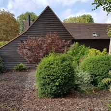
Barn 20 Yards South West Of The Vicarage
2.7 km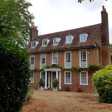
The Vicarage
2.7 kmReviews
Visited this place? Tap the stars to rate it and share your experience / photos with the community! Try now! You can cancel it anytime.
Discover hidden gems everywhere you go!
From secret cafés to breathtaking viewpoints, skip the crowded tourist spots and find places that match your style. Our app makes it easy with voice search, smart filtering, route optimization, and insider tips from travelers worldwide. Download now for the complete mobile experience.

A unique approach to discovering new places❞
— Le Figaro
All the places worth exploring❞
— France Info
A tailor-made excursion in just a few clicks❞
— 20 Minutes