Prehistoric flint mine and a Martin Down style enclosure on Harrow hill, 850m south east of Lee Farm, Archaeological site with prehistoric flint mine in Angmering, United Kingdom
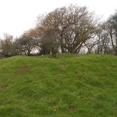
The prehistoric flint mine on Harrow Hill is an archaeological site featuring deep shafts for extracting raw material alongside an enclosed settlement with banks and ditches in the Martin Down style. The combined layout shows where mining took place and where people lived and protected themselves.
Flint extraction at this location began in the Neolithic period when communities needed raw materials for making tools and weapons. The site later developed to include living and defensive structures for the people working in the mines.
The site shows how prehistoric people mined flint and lived in the same area at the same time. The surviving shafts and surface structures reveal the practical skills and methods these ancient communities used daily.
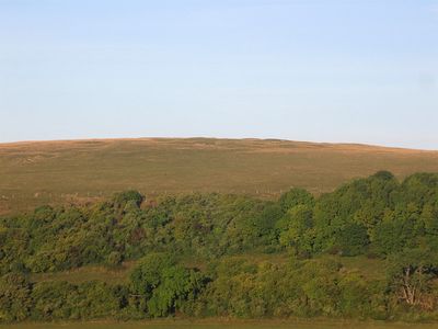
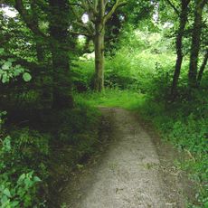
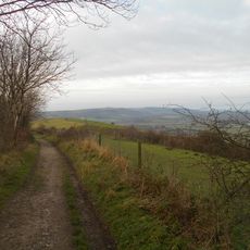
The site sits on elevated ground and is reached by designated walking paths, with information panels explaining the mining and settlement patterns. Visitors can walk around the visible shafts and enclosed structures to see them up close.
The layout shows that the same people both mined materials and built defensive structures, suggesting a permanent settlement rather than a temporary work site. This pattern was unusual for early mining operations, which were often abandoned after extraction ended.
The community of curious travelers
AroundUs brings together thousands of curated places, local tips, and hidden gems, enriched daily by 60,000 contributors worldwide.