
Cross dyke on Chantry Hill, 470m south of Grey Friars Farm
Cross dyke on Chantry Hill, 470m south of Grey Friars Farm, cross dyke in Storrington and Sullington, Horsham, England, UK
Location: Storrington and Sullington
GPS coordinates: 50.90300,-0.45924
Latest update: April 8, 2025 17:23
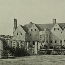
Little Thakeham
4 km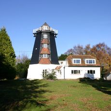
Rock Mill
4.5 km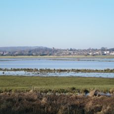
Pulborough Brooks
5.3 km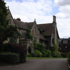
The Abbey, Storrington
1.4 km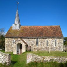
Greatham Church
5.3 km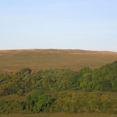
Prehistoric flint mine and a Martin Down style enclosure on Harrow hill, 850m south east of Lee Farm
2.7 km
Muntham Court Romano-British site
4.2 km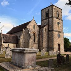
The Parish Church of St Mary the Virgin
1.5 km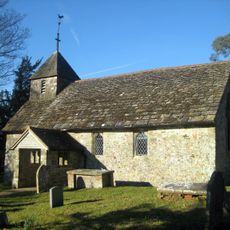
Wiggonholt Church
4.8 km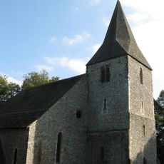
The Parish Church of St John the Baptist
5.3 km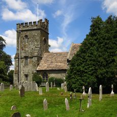
Church of St Peter, Parham
2.9 km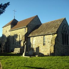
The Parish Church of St Mary
1.5 km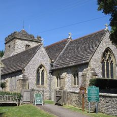
The Parish Church of St Mary
3.4 km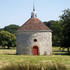
The Dovecot At Parham Park To The North East Of The House
2.9 km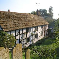
Church House
5.3 km
Storrington Library
1.8 km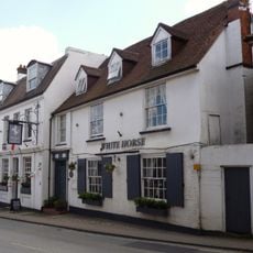
The Old Market Rooms The White Horse Hotel
1.7 km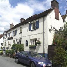
The Black Horse Inn
5.3 km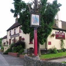
The Frankland Arms Public House
3.8 km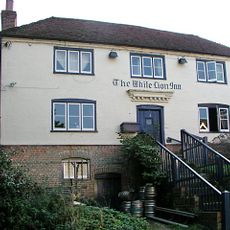
The White Lion Inn
5.3 km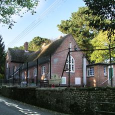
Thakeham First School
5.3 km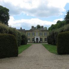
Findon Place
5.3 km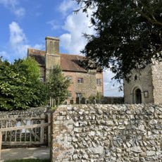
Sullington Manor
1.5 km
The Stables And Laundry Wing At Parham Park To The North Of The House
2.9 km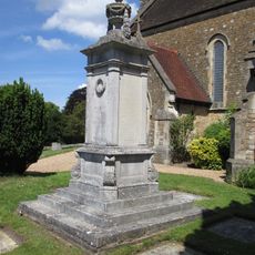
Storrington War Memorial
1.4 km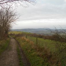
Rackham Banks: A cross dyke and Itford Hill style settlement on Rackham Hill, 900m SSE of Oldbottom Barn
3.4 km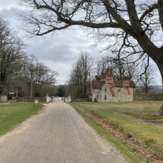
Douglas Lodge
2.5 km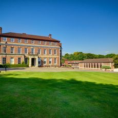
Windlesham House School
3.2 kmReviews
Visited this place? Tap the stars to rate it and share your experience / photos with the community! Try now! You can cancel it anytime.
Discover hidden gems everywhere you go!
From secret cafés to breathtaking viewpoints, skip the crowded tourist spots and find places that match your style. Our app makes it easy with voice search, smart filtering, route optimization, and insider tips from travelers worldwide. Download now for the complete mobile experience.

A unique approach to discovering new places❞
— Le Figaro
All the places worth exploring❞
— France Info
A tailor-made excursion in just a few clicks❞
— 20 Minutes