
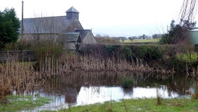
Church Of St Mary, church building in Llangors, United Kingdom
Location: Llangors
Elevation above the sea: 213.9 m
GPS coordinates: 51.94920,-3.30817
Latest update: March 6, 2025 20:12
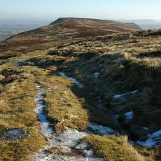
Fforest Fawr Geopark
1.6 km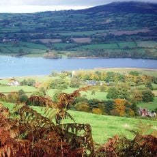
Treberfydd
4.2 km
Caeau Ty-mawr
3 km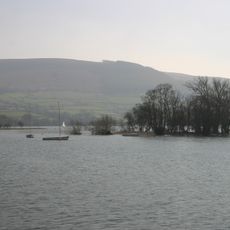
Llangors Crannog
3 km
St Brynach's Church
3.9 km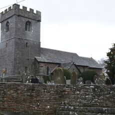
Church of St Michael and All Angels
1.3 km
Church of St Peter and St Illtyd
2.5 km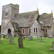
St Gastyn's Church
4 km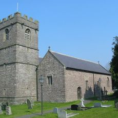
Church Of St Paulinus
3.5 km
Canal Bridge No 162 Brecon & Abergavenny Canal
2.7 km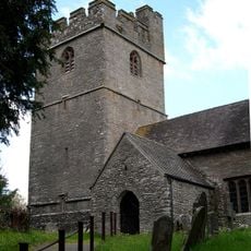
St Meugan's Church
4.4 km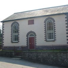
Penuel Baptist Chapel
3.4 km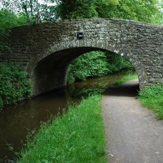
Canal Bridge on S side of A40
3.4 km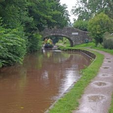
Pencelli Bridge
3.8 km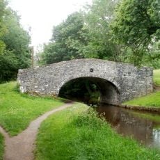
Penawr Bridge (Canal Bridge No.151)
4.3 km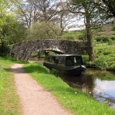
Low Bridge (Canal Bridge No.156)
3.8 km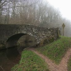
Castle Bridge (Canal Bridge No. 152)
3.9 km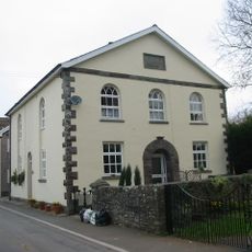
Mizpah Baptist Chapel
4 km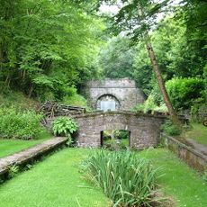
Tal-y-llyn Railway Tunnel
1.3 km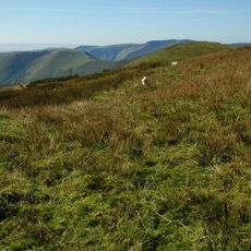
Pen-yr-allt
4.1 km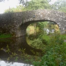
Canal Bridge No 161 Brecon & Abergavenny Canal
2.6 km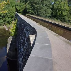
Cefn Brynich Canal Bridge Aqueduct
2.7 km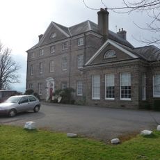
Peterstone Court
2.5 km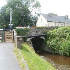
Canal Bridge No 163 and Cefn Brynich Lock Chamber
2.8 km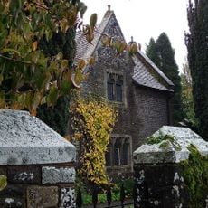
Old School House (also Known As Yr Hen Ysgol)
4 km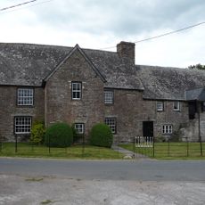
Ty Fry
4.1 km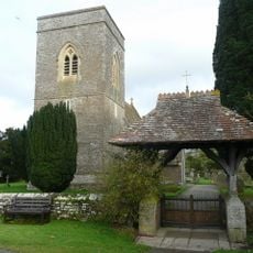
Lychgate in churchyard of St Gastyn
4 km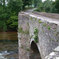
Lock Road Bridge
2.8 kmVisited this place? Tap the stars to rate it and share your experience / photos with the community! Try now! You can cancel it anytime.
Discover hidden gems everywhere you go!
From secret cafés to breathtaking viewpoints, skip the crowded tourist spots and find places that match your style. Our app makes it easy with voice search, smart filtering, route optimization, and insider tips from travelers worldwide. Download now for the complete mobile experience.

A unique approach to discovering new places❞
— Le Figaro
All the places worth exploring❞
— France Info
A tailor-made excursion in just a few clicks❞
— 20 Minutes